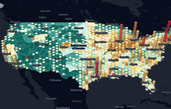
Free GIS Software for Visualizing Mobile Mapping Data
GIS software is incredible! And sometimes it’s even FREE! See some of the best free GIS software to visual mobile mapping data
GIS software is incredible! And sometimes it’s even FREE! See some of the best free GIS software to visual mobile mapping data

Virtual sets and virtual studios are revolutionizing how film makers can make us feel that we’re experiencing the events in real life

What digital twin solutions exist in supply chains, manufacturing, and medical sectors?

A 360° agriculture camera system for crop monitoring and inspection: identify insects, crop diseases and nutrient deficiencies.
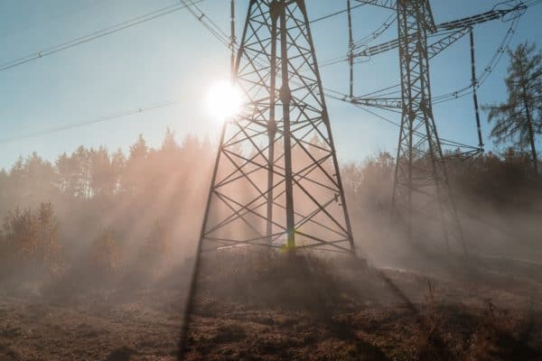
How utilities are using integrated vegetation management solutions to clear the way for better vegetation management
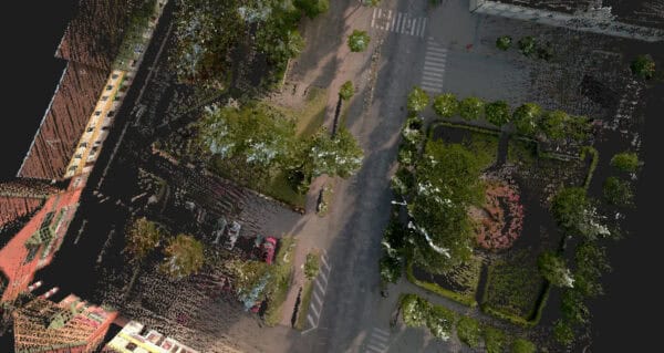
3D scanning technology has evolved over the last 50 years with lasers, lights, cameras, and projectors. Now the most exciting thing in


