Urban Explorer becomes Mosaic’s official partner for the Malaysian market
Prague, Czech Republic, and Kuala Lumpur, Malaysia
Mosaic has partnered with Urban Explorer, a Malaysian AI and Digital Twin technology company and pioneer in 360 mobile mapping, to bring high-resolution 360° imagery and geospatial data capture capabilities to the Malaysian market and the broader Southeast Asian region.
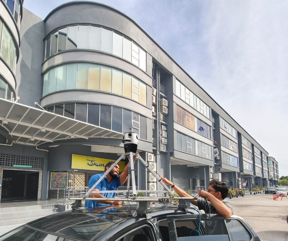
Urban Explorer was founded in 2009 and was the first company in Malaysia to offer mobile mapping services commercially. Over more than fifteen years, the company has built an end-to-end solution practice spanning outdoor street-level panoramic imaging, indoor 360° imaging and navigation, and AI-powered analytics platforms.
The Urban Explorer team combines expertise across a variety of disciplines: geomatic science, electrical and mechanical engineering, software engineering, 3D design, and architecture.
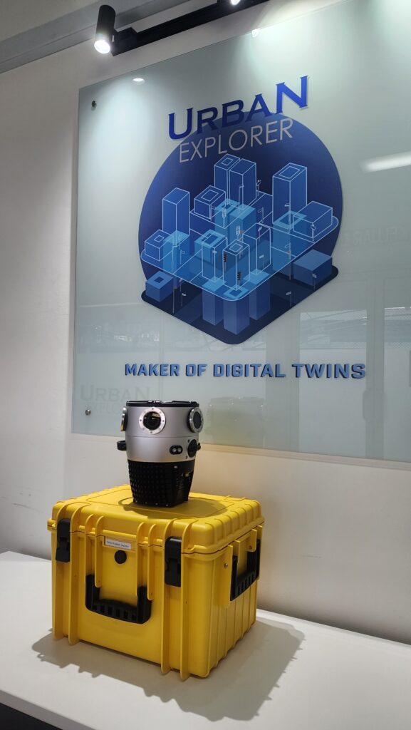
For Urban Explorer, this partnership is about more than just adding hardware to their product catalog. Their engagement with Mosaic centers on solution integration, or embedding high-resolution Mosaic imagery as a data layer within their own AI and digital twin platforms. These include programs such as PavementAI, RAssetAI, ARD360, MATA, and AssetBuddy.
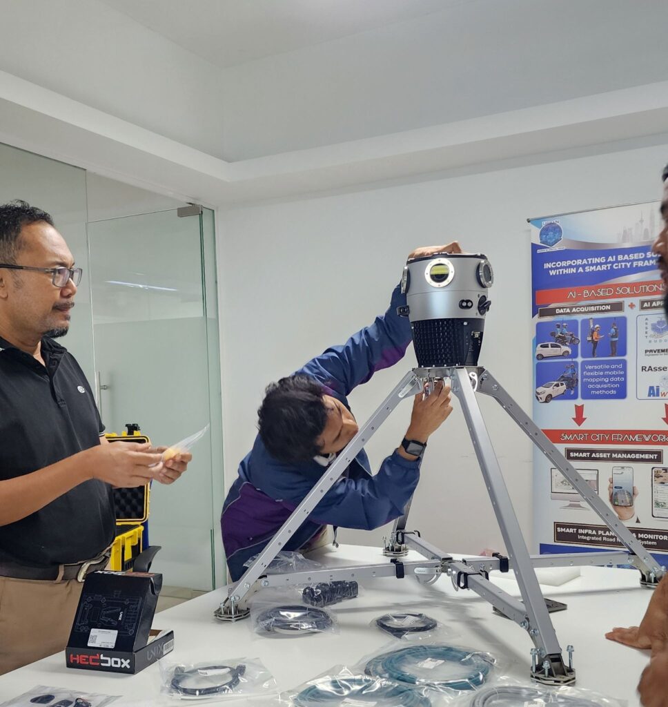
“Our focus has always been on transforming geospatial data into actionable intelligence. Through our AI and Digital Twin ecosystem, we develop solutions that help organizations inspect, manage, and optimize physical assets more effectively. We have selected Mosaic’s cameras as our preferred hardware for the region, as they have consistently proven to produce the highest resolution imagery for our platform.
Mosaic’s ultra-high-resolution imagery provides an essential data source for a wide range of applications, including infrastructure inspection, utility asset intelligence, address verification, GIS data extraction and advanced computer vision analytics. We are incorporating Mosaic imagery into our AI-driven platforms to create smarter, more automated workflows for infrastructure and smart city management.”
— Yati Ahmad, COO of Urban Explorer
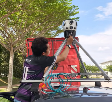
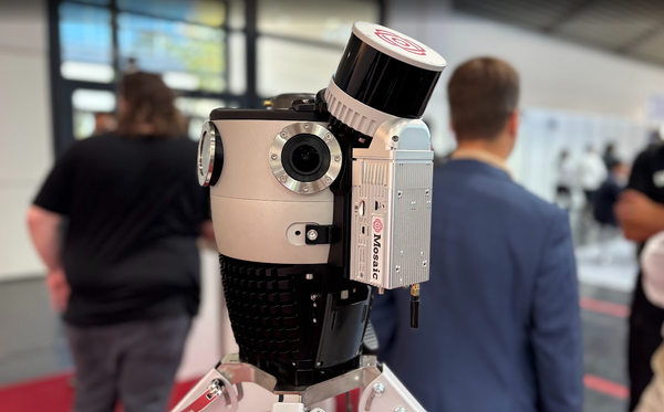
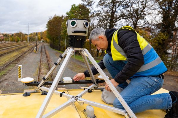
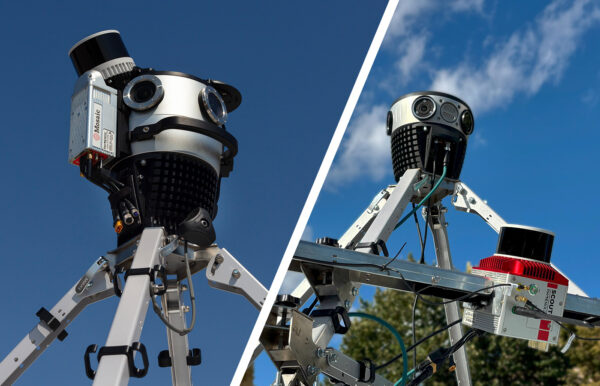
This is precisely the kind of integration that Mosaic cameras are built for. Mosaic’s open architecture allows third-party GNSS, INS, and LiDAR sensors to be incorporated into a single capture workflow.
This flexibility allows solution providers like Urban Explorer to build pipelines that match the complexity of real project deliverables. Instead of forcing Urban Explorer to conform to a proprietary system, Mosaic 360° imagery integrates seamlessly.
Mosaic mobile mapping systems also deliver the resolution and image quality Urban Explorer requires: utility asset identification, sign legibility, and condition-level visual inspection. These all depend on the level of detail that lower-specification cameras cannot sustain at normal driving speeds. Mosaic’s systems are purpose-built for exactly this type of demanding, repeatable, production-grade data collection.
Urban Explorer’s position in the Malaysian market makes this a strategically significant entry point for Mosaic in Southeast Asia. The company is already deeply embedded in government and enterprise projects across the region, with a growing focus on the digitalization of physical assets. This demand is mainly driven by IR 4.0 adoption and the increasing popularity of digital twin infrastructure among both public agencies and private-sector operators.
“Urban Explorer has the technical depth and the market relationships to deploy Mosaic imagery where it matters most. Their AI platforms and project-delivery model are a strong fit for how Mosaic cameras perform in the field, and this partnership gives Malaysian and regional clients access to the highest-resolution mobile mapping data available.”
— Lynn Puzzo, Director of Sales and Marketing at Mosaic
About Urban Explorer
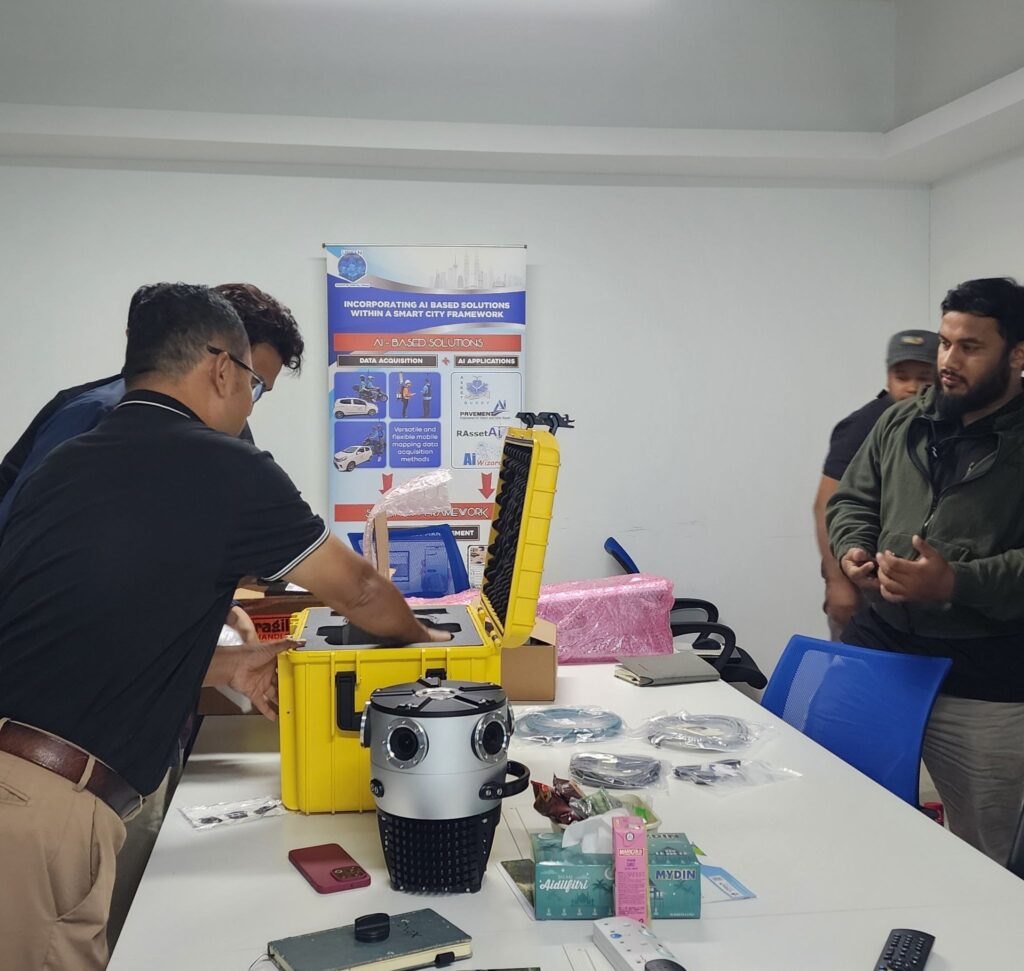
Urban Explorer Sdn. Bhd. is a Malaysian AI and Digital Twin technology company founded in 2009 and recognized as the country’s pioneer in 360° mobile mapping solutions. The company specializes in transforming 360° imagery into actionable intelligence through artificial intelligence, geospatial technologies, and digital twin applications. Through its MODITs™ (Maker of Digital Twins) ecosystem, Urban Explorer delivers AI-powered digital twin solutions that transform spatial data into actionable intelligence across multiple industries.
Press Contact:
Noorhayati Ahmad, COO
About Mosaic
Mosaic is a leader in 360-degree camera technology, providing high-resolution, high-speed imagery solutions for a variety of industries, including mapping, surveying, and infrastructure management. Mosaic’s cameras are known for their ease of use, high image quality, and ability to seamlessly integrate into diverse workflows, offering flexibility and precision for any project.
Press Contact:
Lynn Puzzo, Director of Sales and Marketing