
Challenge
You need to reduce the costs for human resources and initial hardware acquisition to scan large objects. As well as collect high-resolution images necessary for large-scale, photorealistic 3D reconstructions.
Problem
Building a high-resolution 3D model or scan of large-scale infrastructure projects usually requires expensive equipment and a team of technicians.
Is there any way to avoid additional costs and team training?
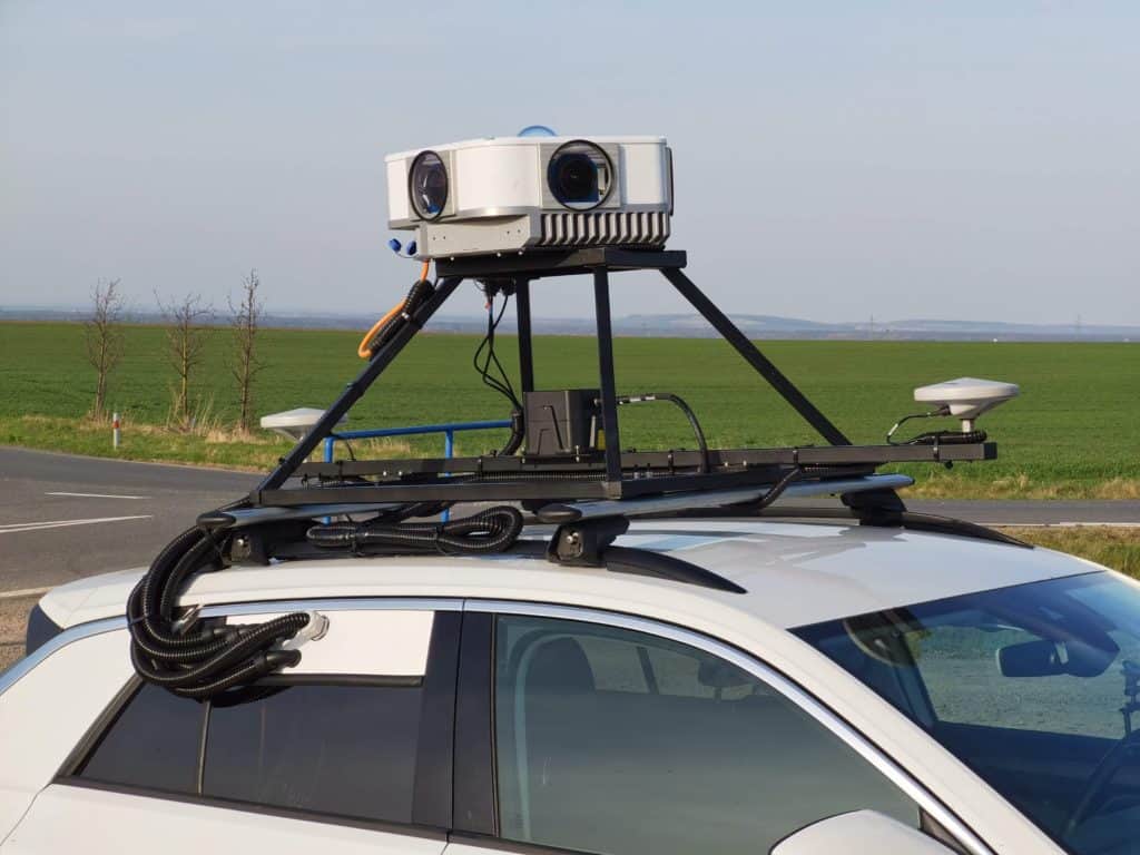
Solution
The Mosaic Viking, with its six global shutter sensors at 31 MP each, captures all the finest detail of extremely large spaces faster than traditional methods.
Look at the highly detailed 3D model below – even on the second floor, the minor elements are perfectly visible. Also note the stones, grass, and texture of the walls! The Viking is the highest-resolution 360º mobile mapping camera on the market, delivering data in 12-bit uncompressed RAW (DNG) format. Such images provide the highest color rendering, significantly increasing further processing flexibility.
Check out the full 3D model of St. Barbara Cathedral on Prevu3D and Cesium.
The Mosaic Viking excels at scanning large objects with detailed scenes and textures. It is a real find for the most demanding customers who need to see minute details. You can read the menu posted on the side of a building or the smallest numbers on a utility pole.
You also don’t need a team of personnel or frequent on-site visits to collect data with multiple devices. With this mobile mapping camera, it’s done in one go. This solution saves you time and money and requires a minimum number of technicians involved!
A distinct advantage is that the data from Mosaic 360° cameras, taken from just one ride at an average drive speed, can be combined with drone imagery (as done in this model) or LiDAR to achieve even better results.


