Skip to content
Mosaic Logo
  • About
    Mosaic camera icon
    • About Mosaic

    Company behind the #1 360º camera for mobile mapping 

    Link icon
    • Partners

    Pioneering the future of data capture with trusted partners

    Careers icon (microchip)
    • Careers

    Work with us: Current open positions for our team

    FAQ icon
    • FAQ

    You’ve got questions, we’ve got answers

  • Products
    Industry-leading Mobile Mapping Camera Systems
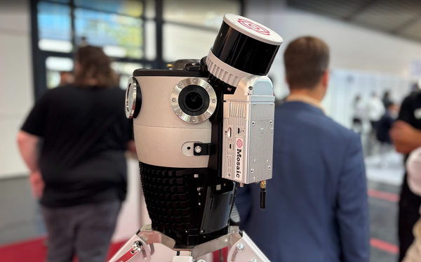
    Mosaic 51 mobile mapping camera
    • Mosaic 51

    Most durable, precise and practical 360º camera 

    Mosaic X 360° mobile mapping camera
    • Mosaic X

    Where speed meets accuracy in 360º street view mapping

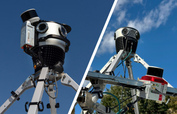
    Mosaic 360° camera with an integrated LiDAR sensor on a stand
    • Mosaic Xplor

    Backpack camera reshaping surveying and entertainment

    Mobile Laser Scanning Systems & Integrations
    new main header with mega menu 03
    • Mosaic Meridian 2

    High-Quality 360° & LiDAR mapping, now within reach

    Mosaic Meridian camera on a tripod mount with GNSS antennas and a LiDAR scanner
    • Mosaic Meridian Lite

    360° & LiDAR MLS system built for city-scale scanning and quick post-processing

    Mosaic 360° camera at the centre of a puzzle graphic with icons for integrated sensors and positioning systems
    • Mosaic Integrations

    Integrate external sensors, including GNSS, LiDAR, and INS

  • Offerings
    VFX stage icon
    • VFX Capture Services

    Achieve extraordinary visuals  and unlock creative freedom

    360 software services icon (gear with rotation arrows)
    • Post-Processing Tools

    Streamline your workflow and secure your data

  • Case Studies
  • Insights
    Blog icon (camera with rotation arrows)
    • Blog

    Industry updates related to 360º cameras and mobile mapping

    Industry solutions icon (road underpass)
    • Industry Solutions

    Our solutions for industries, organizations and agencies

    new main header with mega menu 02
    • Gallery

    Through the lens of Mosaic’s 360° mobile mapping cameras

Day: April 15, 2026

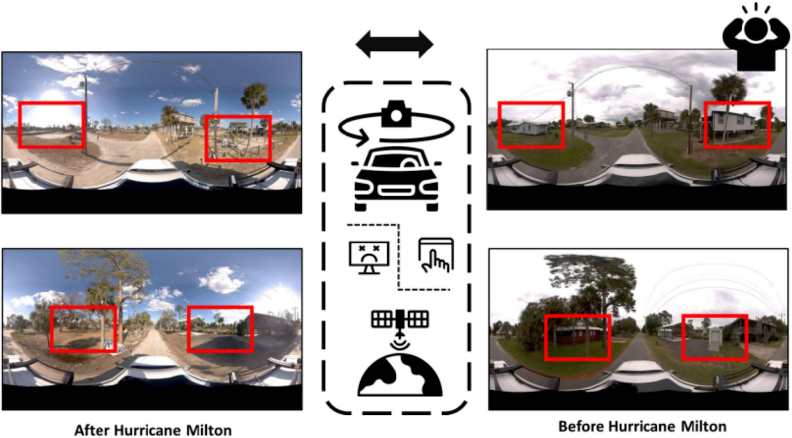
How Texas A&M is Pioneering Damage Assessment Using Mosaic Imagery from Hurricane Milton
April 15, 2026 by Caroline
image

Researchers at Texas A&M are using Mosaic-captured imagery to develop disaster resilience frameworks that bridge the gap between satellite data and ground truth
Categories Featured Tags case-study

Recent Posts

  • Mosaic Attends INTERGEO 2026 
  • Monitoring site progress using 360° camera visualizations
  • Meridian 2 or Meridian Lite? Choosing the Right Mobile Mapping System for You
  • So You’ve Outgrown Your Prosumer 360° Camera?
  • Mosaic Launches Meridian 2: The Next Evolution of Mobile Mapping

Recent Comments

    Contact us

    Product or partnership inquiries?
    Interested in more info?

    Send a request and we’ll be happy to help.

    Contact Mosaic

    At Mosaic we are pushing the limits of HD mapping; our mission is to build a better view of the world. 

    Follow us

    Linkedin Youtube Facebook

    About Mosaic

    • The Company
    • Partners
    • Careers
    • Manifesto
    • World Models

    Products

    • Products
    • Meridian 2 MLS System
    • Mosaic Integrations
    • Meridian LITE MLS System
    • Mosaic 51
    • Mosaic X
    • Mosaic Xplor
    • Gallery

    Services

    • 360° Software Solutions
    • Mobile Mapping
    • VFX Capture Services

    Case studies

    • Case Studies
    • Academic Research

    Solutions by Industry

    • Smart Cities
    • Local Governments
    • Central Governments
    • Utility Companies
    • Telecom Sector
    • Transport and Logistics
    • Real Estate Companies
    • Financial and Insurance Companies
    • Engineering and Architecture
    • Public Safety
    • Media and Entertainment
    • Emergency Disaster Management
    • Road Asset Management
    • Railway Inspection
    • Infrastructure Surveying
    • Self-Driving Vehicles Training

    Resources

    • Frequently Asked Questions
    • ROI Calculator
    • FPS vs. DBT Data Calculator

    Subscribe

    Just like our cameras, our insights keep you up-to-date on Mosaic and the 360º world. Sign up to stay updated.

    CzechInvest Technological Incubation project logo
    • Support provided by the 'projekt Technologická inkubace' (Technological Incubation project) from CzechInvest. Learn more...

    © 2020-2026 Mosaic. All rights reserved. 
    Branding & Design: Brandician

    Search Mosaic

    Recent posts

    meridian2 intergeo

    Mosaic Attends INTERGEO 2026 

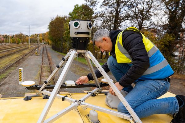
    Technician mounting a Mosaic 360° camera on a tripod on a railway vehicle

    Monitoring site progress using 360° camera visualizations

    meridian2 or meridian lite

    Meridian 2 or Meridian Lite? Choosing the Right Mobile Mapping System for You

    prosumer camera

    So You’ve Outgrown Your Prosumer 360° Camera?

    Meridian 2

    Mosaic Launches Meridian 2: The Next Evolution of Mobile Mapping

    wordless parliament

    A Wordless Parliament  

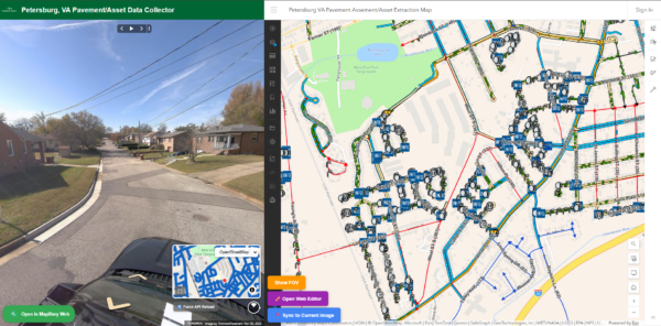
    Pavement and asset data collector map of Petersburg, VA with street-level imagery

    How Timmons Group Is Refining American Pavement Management with the Mosaic 51

    Illustration of street furniture along a road: stop sign, warning signs, utility poles and a hydrant

    University of Hawaii Used Mosaic Imagery to Map Street Furniture Damage After the Lahaina Wildfire