Learn how one Greek company cut its project time in half to accelerate their nationwide fiber-to-the-premises (FTTP) rollout.
For nearly four decades, Fotopo has been a major player in Greece’s photogrammetry and surveying industries. Fotopo, whose name stands for photogrammetry and topography, has grown from a small independent studio into a mid-sized surveying and mapping firm serving both public and private sectors.
With ongoing projects across Greece, Fotopo plays a central role in national cadastral and infrastructure initiatives. Their main project is with the telecommunications infrastructure mapping for the Hellenic Telecommunications Organization (also known as OTE and partially owned by Deutsche Telekom).
To meet project deadlines and maintain data consistency across dispersed regions, Fotopo began searching for a new approach to mobile mapping. They needed to combine accuracy, speed, and operational reliability under Greece’s challenging field conditions.
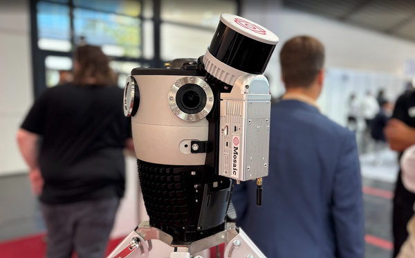
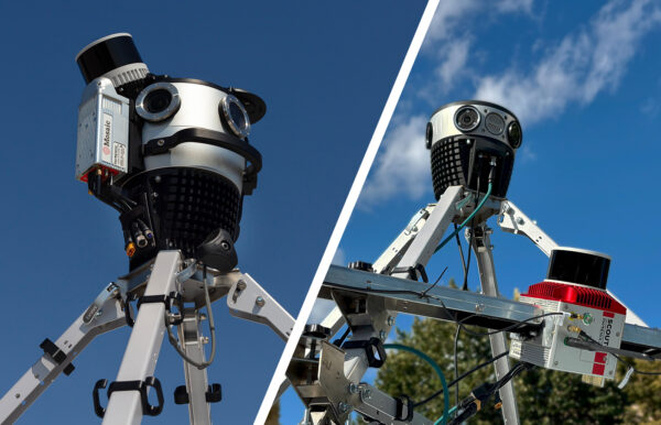
That search led them to the Mosaic X, a surveying-grade 360º camera designed for large-scale geospatial data collection.
Efstratios Stambouloglou, the Planner & Development Manager for Fotopo, initially discovered Mosaic at Intergeo 2023. Today, he tells us how the decision to upgrade Fotopo’s surveying workflow reduced project times by 50% and freed up their time to pursue passion projects in 3D scanning of Greek cultural monuments.
Upgrading from field tablets to mobile mapping
Fotopo’s team had long relied on manual fieldwork for data collection. Crews carrying tablets and using QField (the mobile version of QGIS) would travel from site to site across Greece. They collected details such as building entrance locations, floor counts, usage types, and potential fiber connections for telecommunication rollout projects.
This process had major drawbacks:
- High labor costs: Sending many individuals out into the field for weeks of collections is expensive. This is especially true for Greece’s remote islands and northern regions.
- Inconsistent data quality: Because temporary local contractors were often hired for remote areas, standardizing data quality was difficult.
- Slow turnaround: Information gathered in the field had to be manually verified and processed back in the office. Multiply this by hundreds of kilometers, and you have a huge bottleneck in the workflow.
- Limited scalability: Manually collecting data made it difficult to meet the growing demand from telecom clients, accelerating their nationwide fiber-to-the-premises (FTTP) rollout.
Fotopo needed a way to collect visual and spatial data once and then extract all necessary details digitally, without the need for repeated site visits.
The search for a reliable 360° imaging solution
Fotopo’s experience with imaging hardware dates back more than a decade. The team had experimented with building its own mobile mapping rigs in the past. They combined DSLR cameras or industrial FLIR-PointGrey sensors mounted to vehicles. They has also purchased an early Ladybug 3 panoramic camera, but found the image quality was less than ideal for cadastral and infrastructure mapping.
[The Ladybug 3] was not good enough for what we wanted to do. For our projects, we needed to read house numbers, street names, and everything else that someone in the field could see with their eyes.
-Efstratios Stambouloglou, the Planner & Development Manager at Fotopo
By 2023, as fiber-network expansion projects accelerated, Fotopo revisited the market for 360º mobile mapping solutions. During Intergeo 2023, Efstratios met with the Mosaic team. What stood out to him was the quality, robustness, and design of the Mosaic X. It was the exact solution they needed: professional yet easy to operate.
Soon after, Fotopo adopted the Mosaic X for its telecommunications projects. They deployed it across Greece to accelerate mapping for OTE’s FTTP rollout.
The results of telecoms mapping with the Mosaic X
Swapping manual data collection for the Mosaic X has led to measurable, immediate results across multiple dimensions.
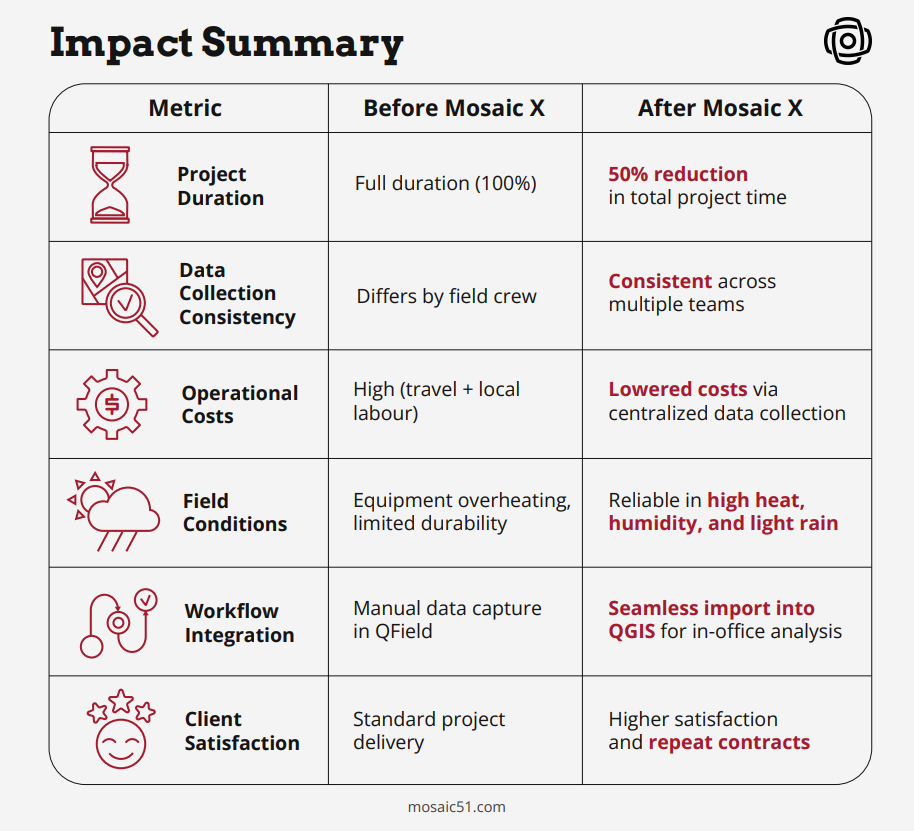
Project timelines reduced by 50%
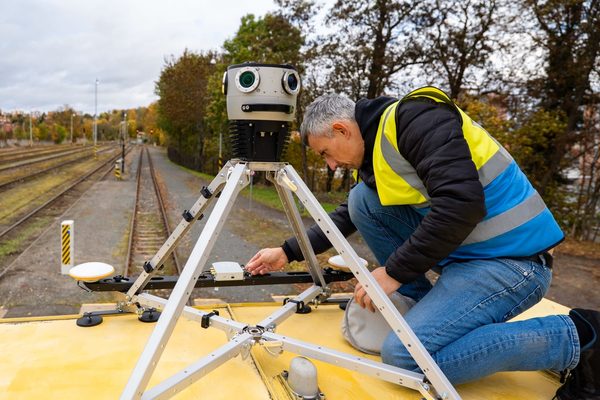
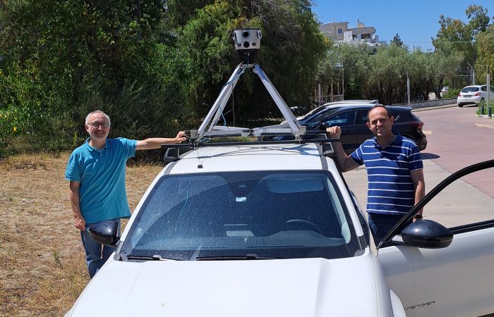
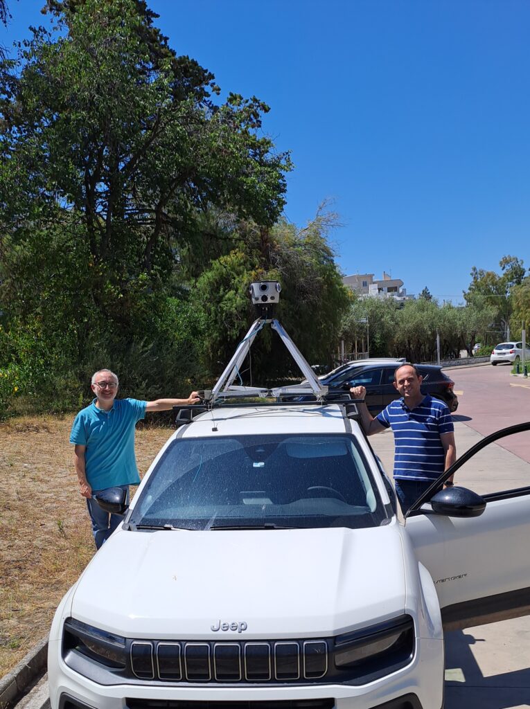
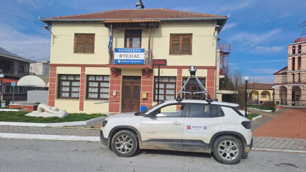
Switching to the Mosaic X meant Fotopo could scale up its data collection efforts. Now, they deploy a two-person field team equipped with a Mosaic X camera atop a vehicle. One person drives while the other provides navigation and coverage guidance.
In each deployment, the camera captures continuous, high-resolution 360° imagery across target areas regardless of humidity and temperature. Fotopo captures data in a variety of landscapes, including urban neighborhoods, suburban roads, and island villages.
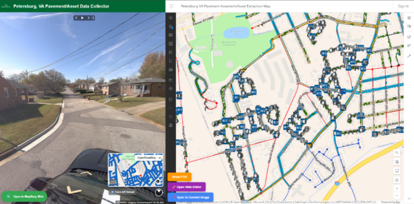
This imagery is then processed and integrated directly into QGIS, where Fotopo’s engineers can extract data and annotate features digitally from the office rather than on location.
“We really did not have to change the way we worked after collecting the data. Our team was already experienced in our preferred software and they could work faster because we were skipping parts that we used to have to do manually with the tablet data.”
The entire workflow, from field collection to final GIS delivery, now takes half the time compared to the previous tablet-based approach. This improvement is especially critical for telecom projects with tight rollout schedules and large coverage areas.
“We’ve cut the total project time, from data collection to delivery, completely in half with the Mosaic X,” says Efstratios.
Improved data consistency and quality
Because Fotopo can now centralize data collection with a single, trained team, the results are far more uniform than before. There is no longer a need to rely on temporary local workers in distant regions.
Lower operational costs
With fewer staff required for on-site data collection and minimal travel to remote areas, overall operational expenses have dropped significantly. The speed at which the Mosaic X captures high-resolution cadastral data has also reduced operational costs.
Higher performance under tough field conditions
The Mosaic X’s rugged design is proven in Greece’s demanding climate. Greek summer temperatures can easily reach 35°C (95°F) with high humidity and little shade. It also produces clear imagery even in drizzling conditions in northern regions.
It is IP-67 tested and can collect data all day without overheating or requiring multiple micro-USB swaps. A single 1 TB flash drive holds your data until you’re ready to transfer it back at the office.
Seamless integration into existing workflows
With Mosaic, the data you capture is non-vendor-locked. This means you can integrate the data you capture into your preferred software.
Fotopo integrated the Mosaic X imagery into its existing QGIS-based data environment. Beyond the initial setup for panorama visualization, it required no major workflow changes. This minimized staff re-training time and improved post-processing turnaround time.
Cultural heritage projects
Photogrammetry and 3D modeling are more than just a job for Efstratios; it’s also a way to give back to his community. While telecommunications mapping is Fotopo’s primary revenue driver, one of Efstratios’ interests lies in cultural heritage documentation.
The time saved by upgrading their manual system to Mosaic X means the team has more free time and opportunities to pursue passion projects.
“In Greece, you will never make money from cultural heritage, but we like it. Sometimes we make projects not for money but for something personal, something valuable.”
His team has scanned and modeled many Greek monuments, including the Propylaea (the monumental gateway to the Acropolis) and smaller archaeological sites throughout northern Greece. For each, Fotopo combines drones, handheld devices, and photogrammetry techniques to generate high-fidelity 3D models. These are mostly for archaeologists and restoration architects who use the data to better protect and understand the ancient structures.
Impact Summary
Next steps for Fotopo
What began as a search for faster field data collection has evolved into a digital transformation of Fotopo’s business model and national impact. From telecoms infrastructure modernization to the preservation of ancient monuments, Fotopo works with both Greece’s past and its future.
With the Mosaic X, the company has achieved dramatic efficiency gains and strengthened its data quality. It has even laid the groundwork for new service models that merge GIS, 360° imagery, and cloud accessibility.
Fotopo’s next step is to expand the use of Mosaic imagery beyond its own team by offering cloud-based access to 360° panoramas for client organizations. This vision reflects Mosaic’s core philosophy: open data ownership and flexible use. Mosaic cameras empower customers to collect, process, and distribute their own imagery without proprietary software restrictions.
If you resonate with this case study and want to cut your project time in half without sacrificing control of your data, reach out today.