
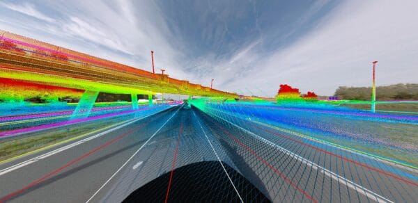
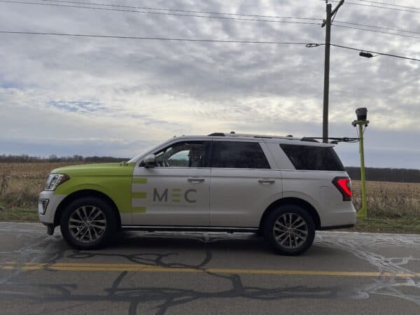
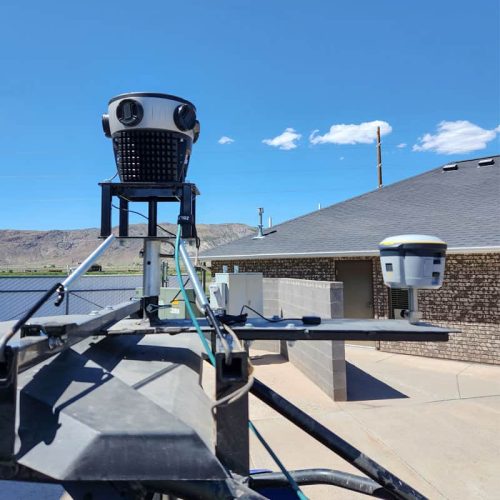
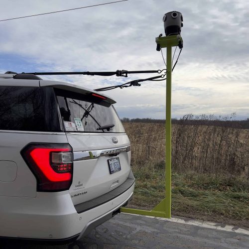
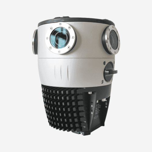
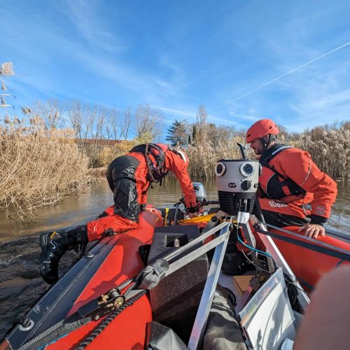
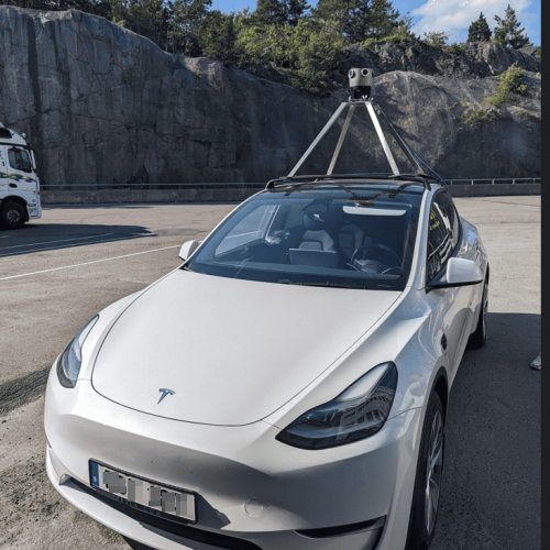
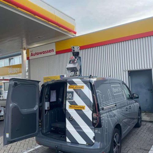
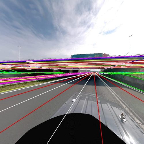
Pioneering Integration of RIEGL VMZ + Mosaic X with 3Dimensions Discovery
The Mosaic X, the highest-resolution mobile mapping camera, integrated with the RIEGL VMZ, sets a new 3D scanning standard. 3Dimensions delivers precise land detail acquisition and model creation for engineering surveying, showcasing advanced 3D solutions and innovation.


![Exploring London's Hidden Gems with The Mosaic X [360 Mobile Mapping Camera]](https://img.youtube.com/vi/iswqOog-Ofg/maxresdefault.jpg)
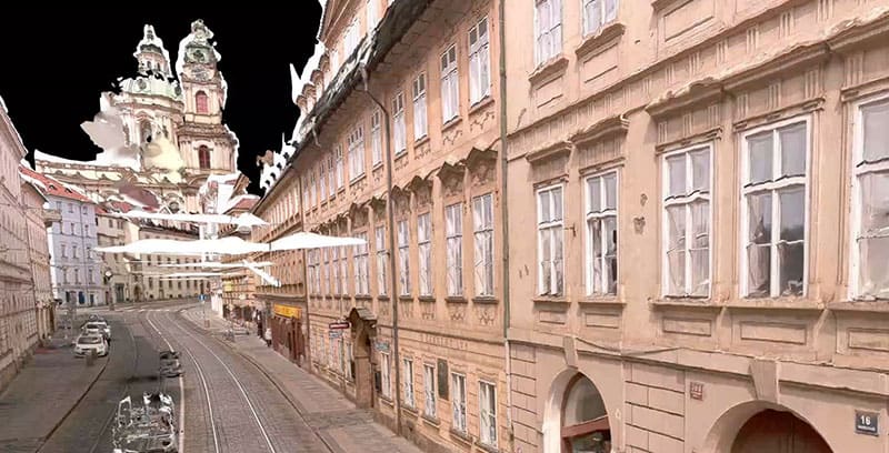
![[Cesium plugin for Unreal Engine 5] 3D Model Dataset collected by Mosaic X 360 camera](https://img.youtube.com/vi/EuboE-RZ1fE/maxresdefault.jpg)
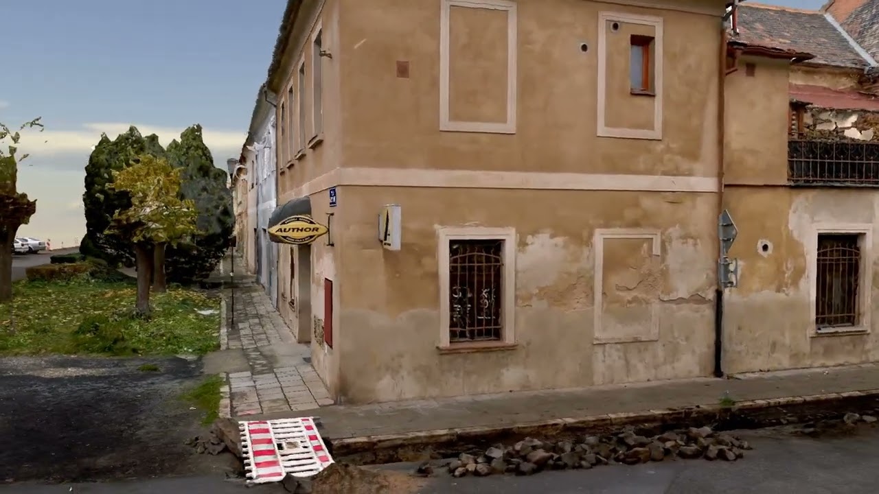
![3D Model Dataset collected by the Mosaic X camera [100% photogrammetry] No LiDAR](https://img.youtube.com/vi/fcBpvvy9I3g/maxresdefault.jpg)
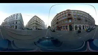
![[Unreal Engine 5] 3D Model Dataset collected by Mosaic X 360 camera](https://img.youtube.com/vi/ovoOqk7_3P4/maxresdefault.jpg)
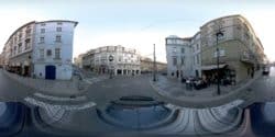
![3D Model Dataset collected in 48 sec by Mosaic X 360 camera [100% Photogrammetry]](https://img.youtube.com/vi/2S0RNWmjxOQ/maxresdefault.jpg)

![Night Boston captured by the Mosaic X - 360º Mapping Camera [Watch in 4K]](https://img.youtube.com/vi/-wDyG1MMWq8/maxresdefault.jpg)


