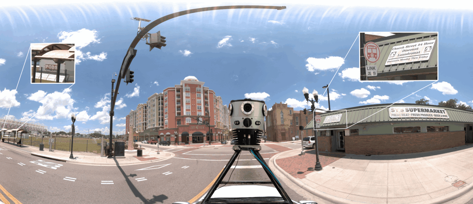
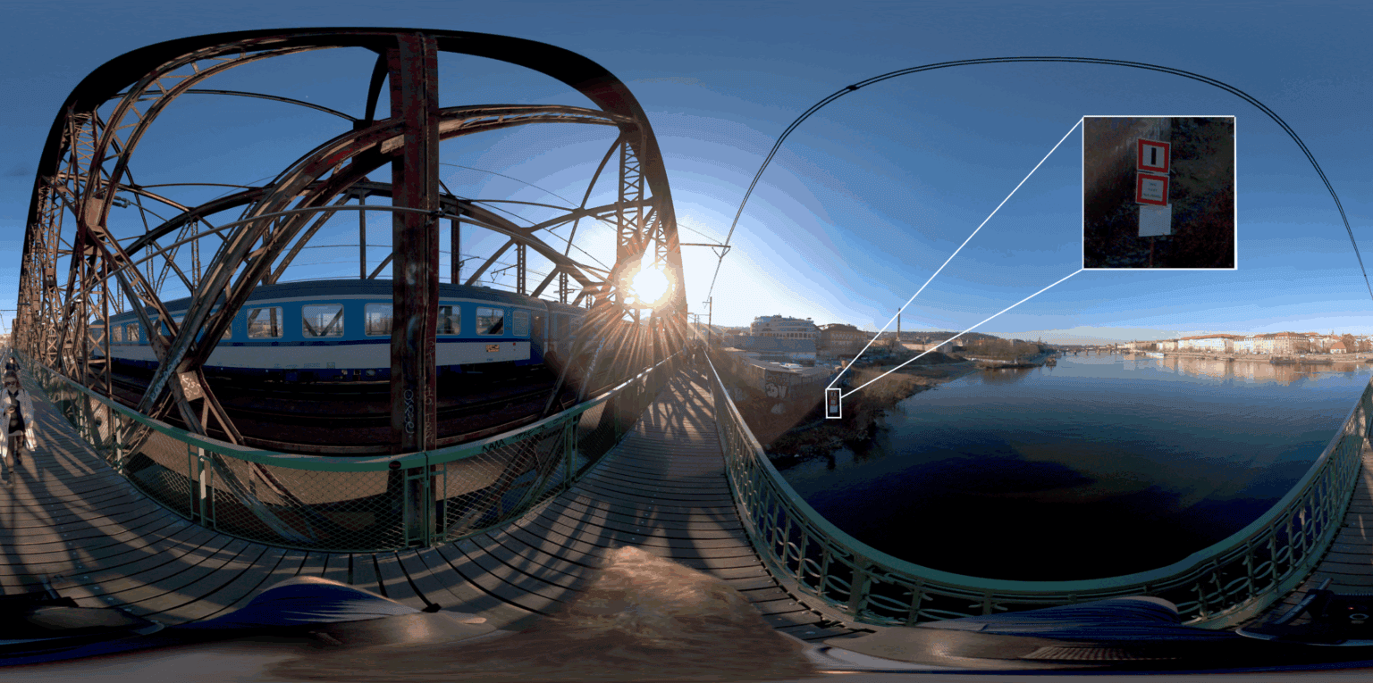
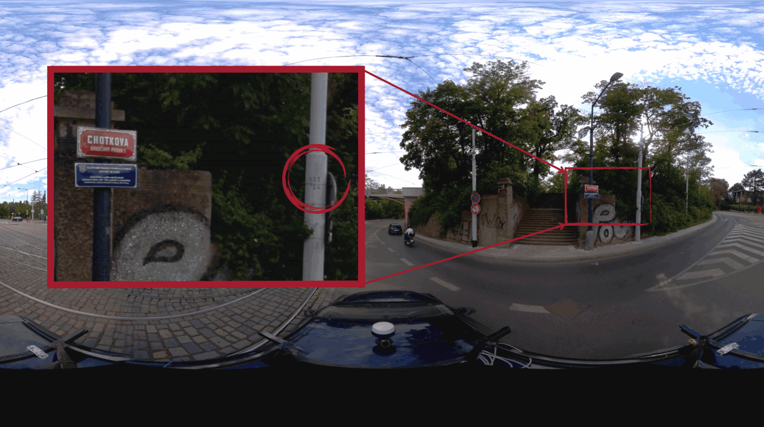
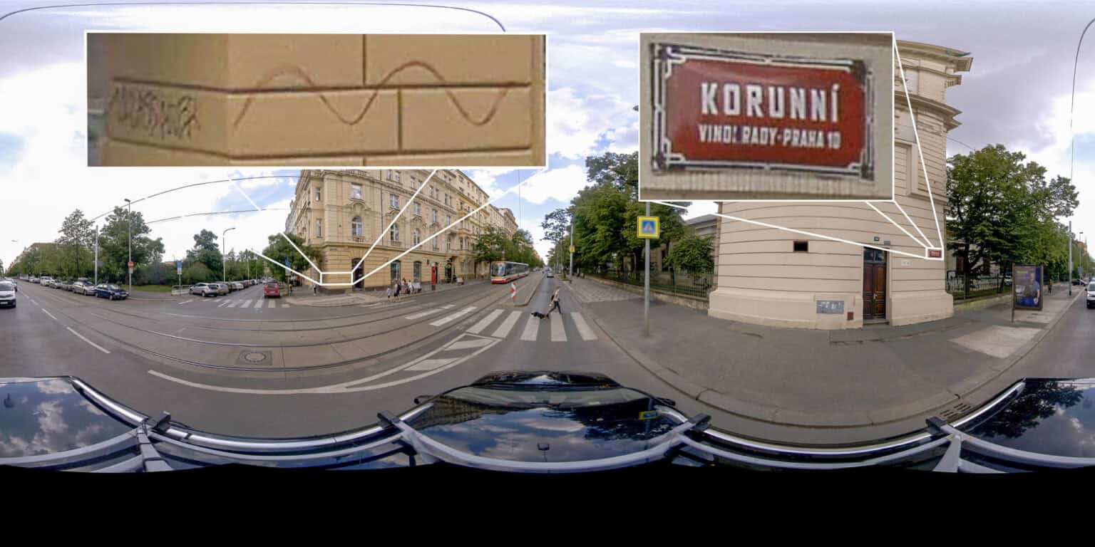
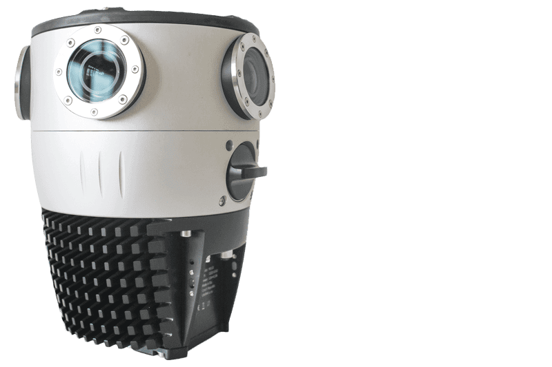
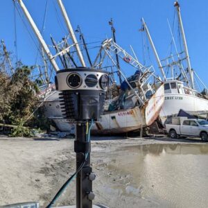
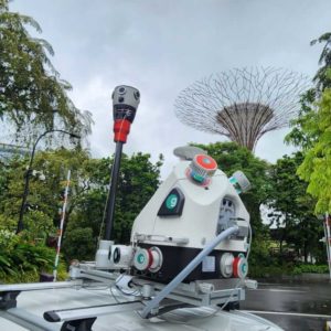
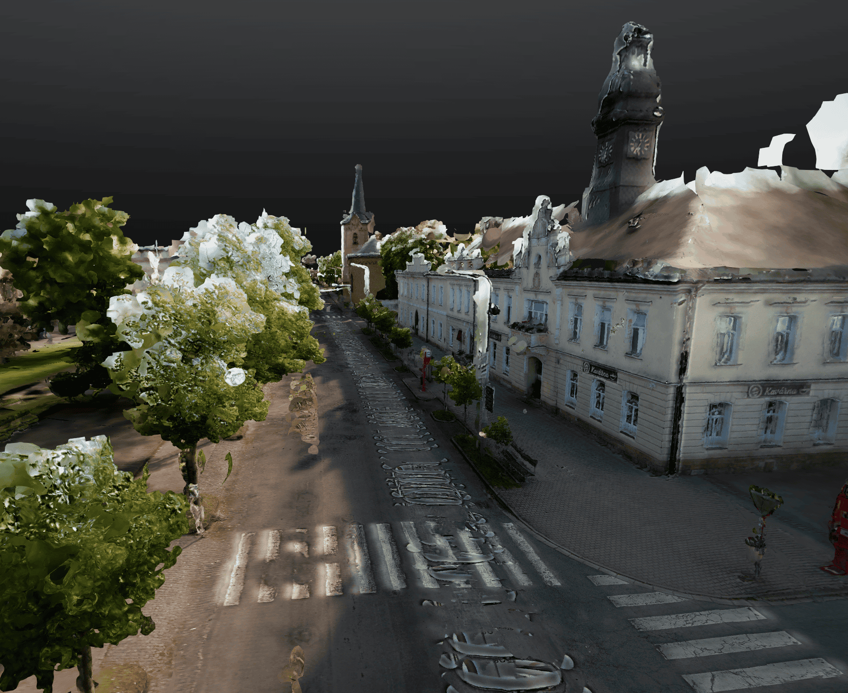
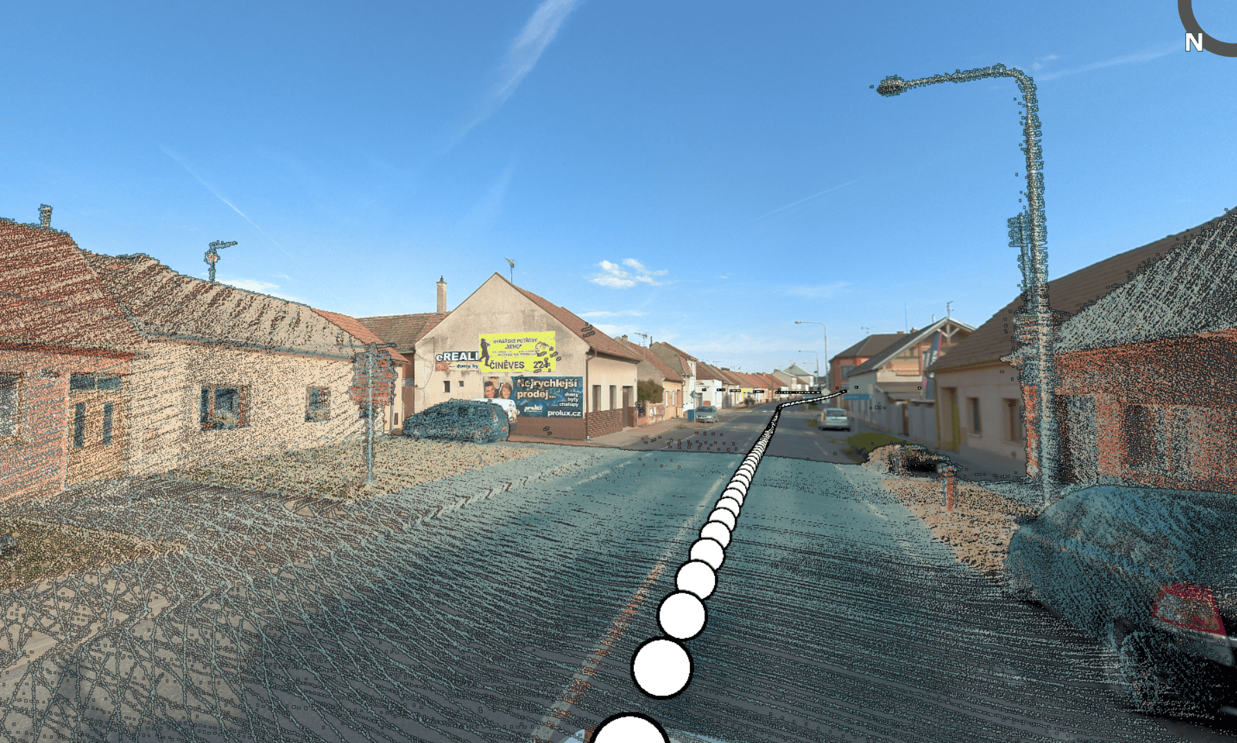
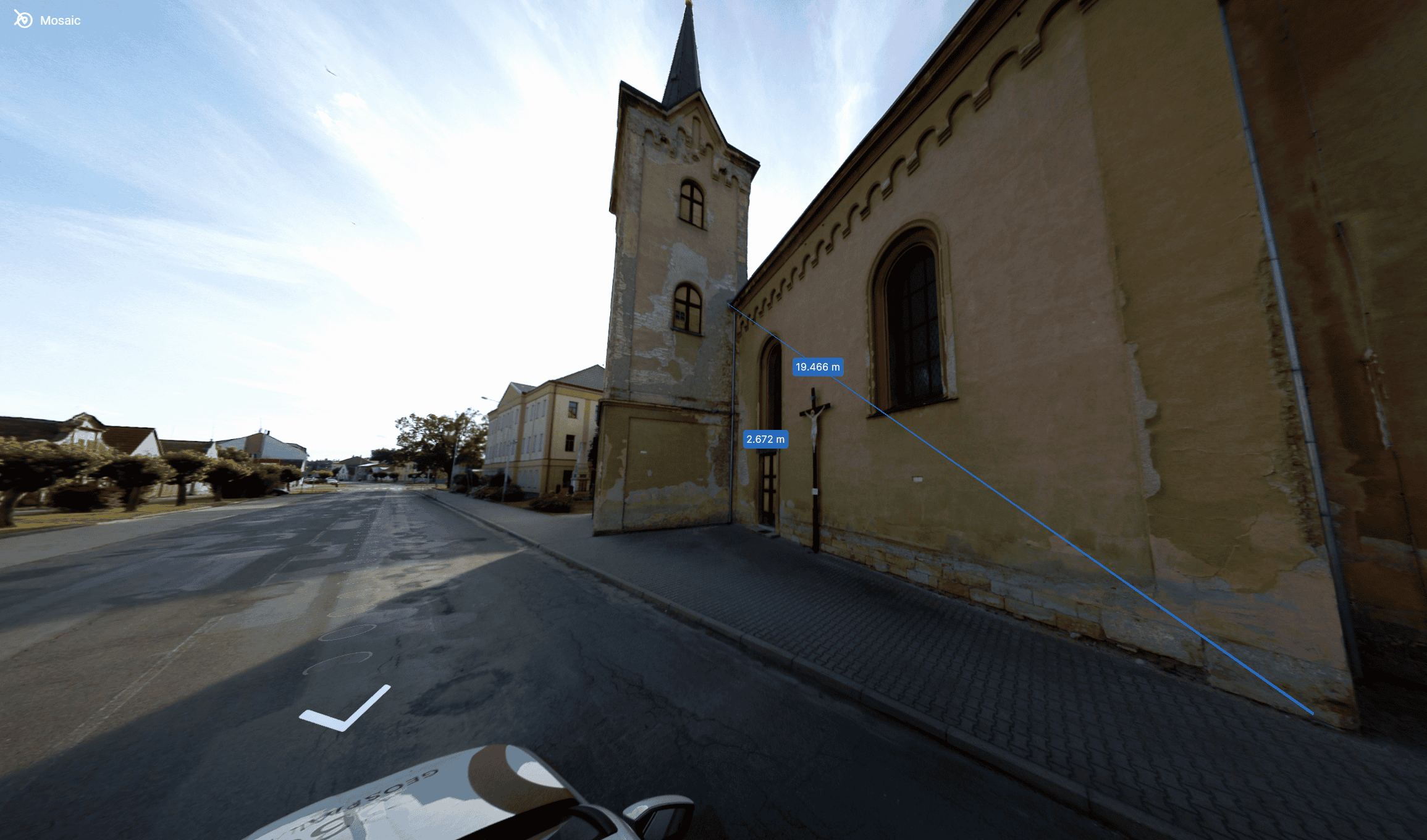
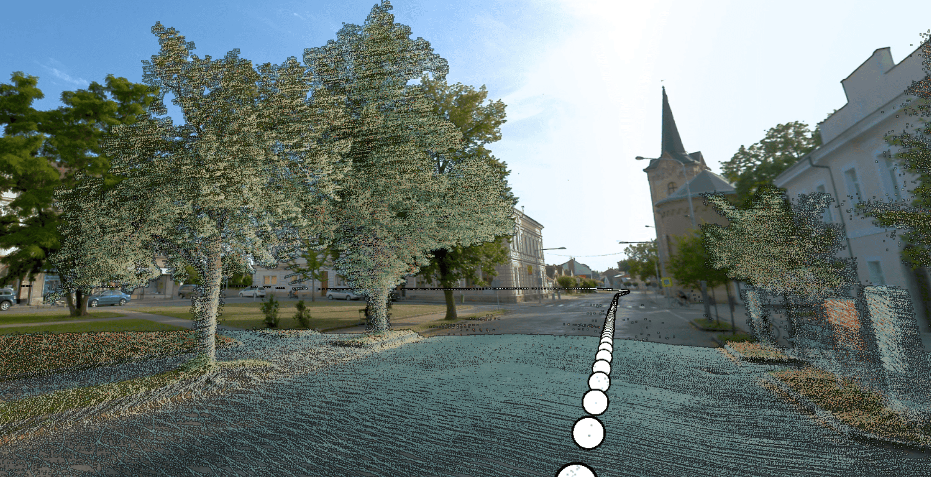
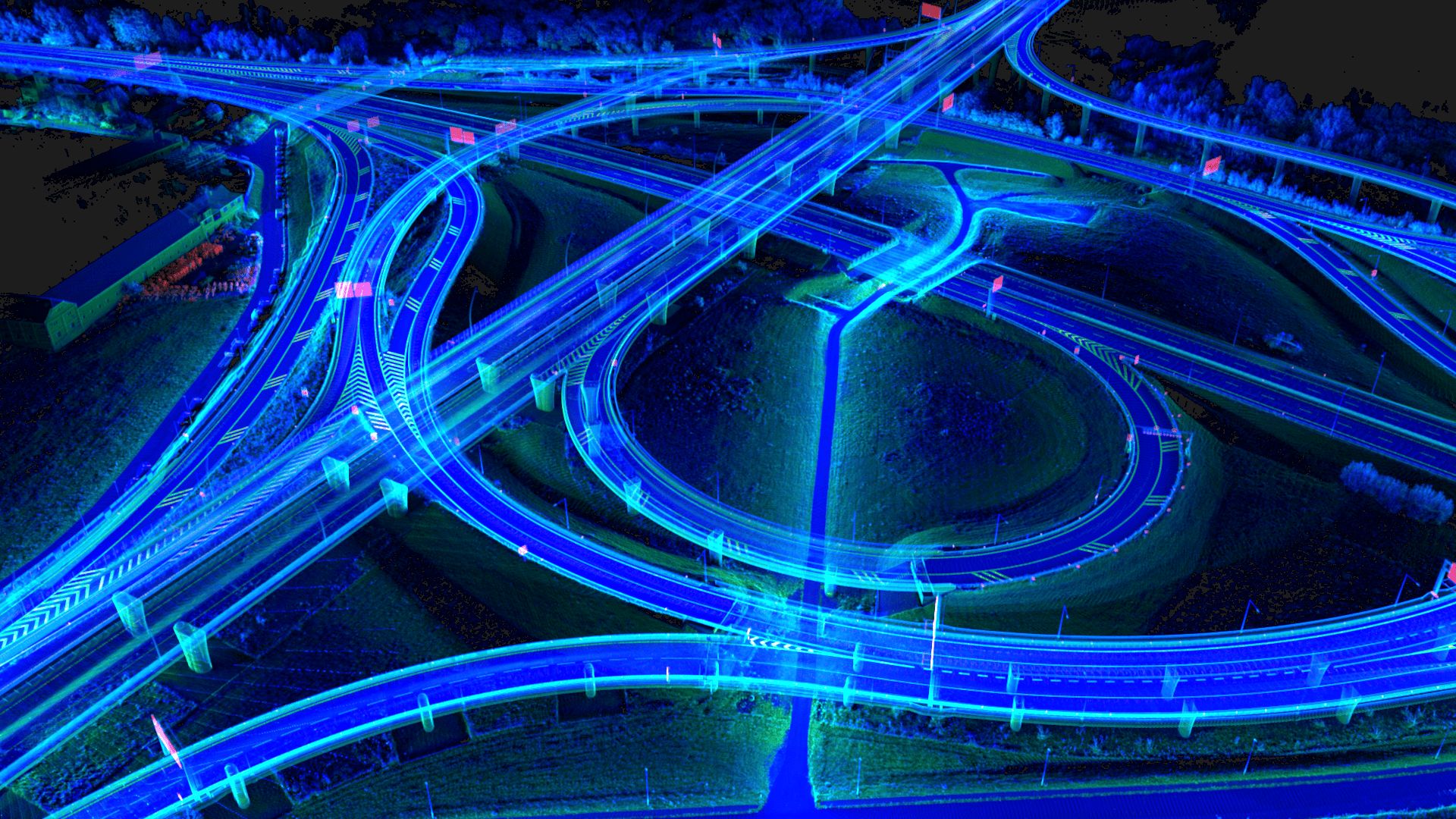
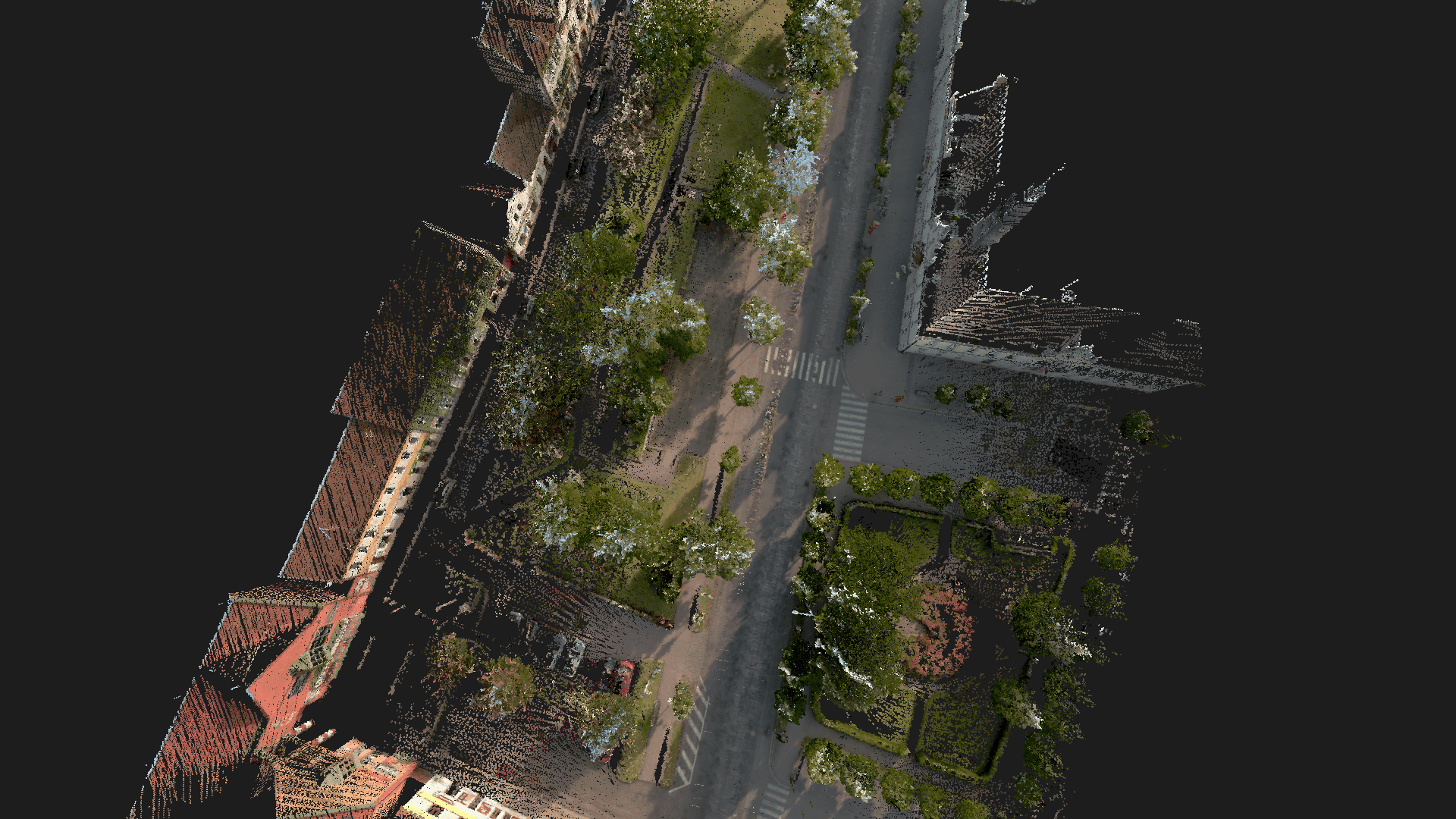
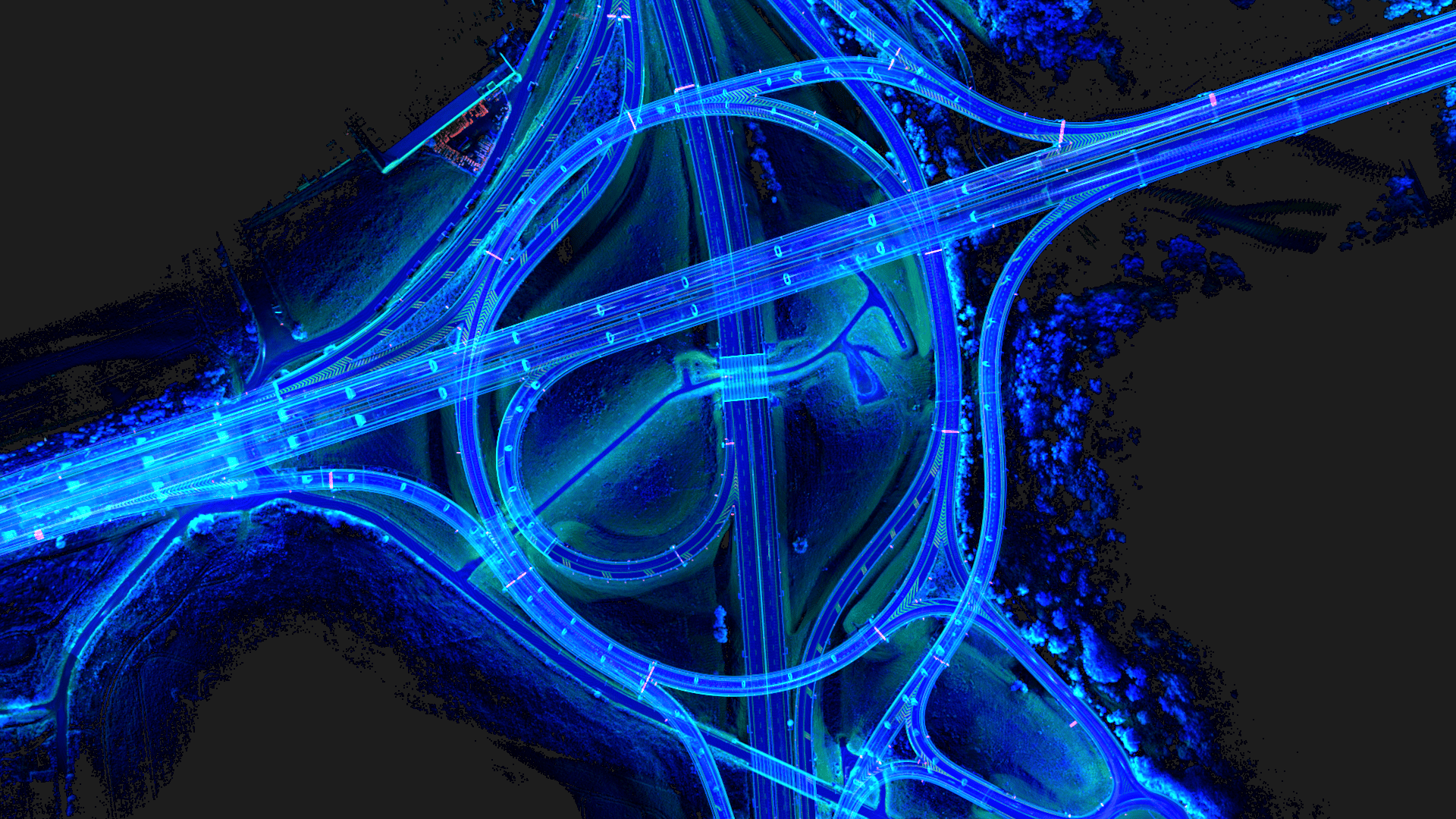
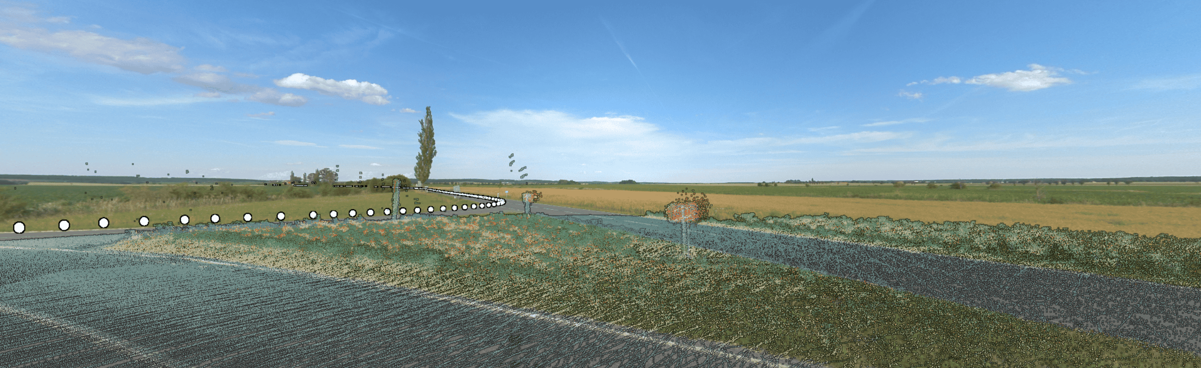
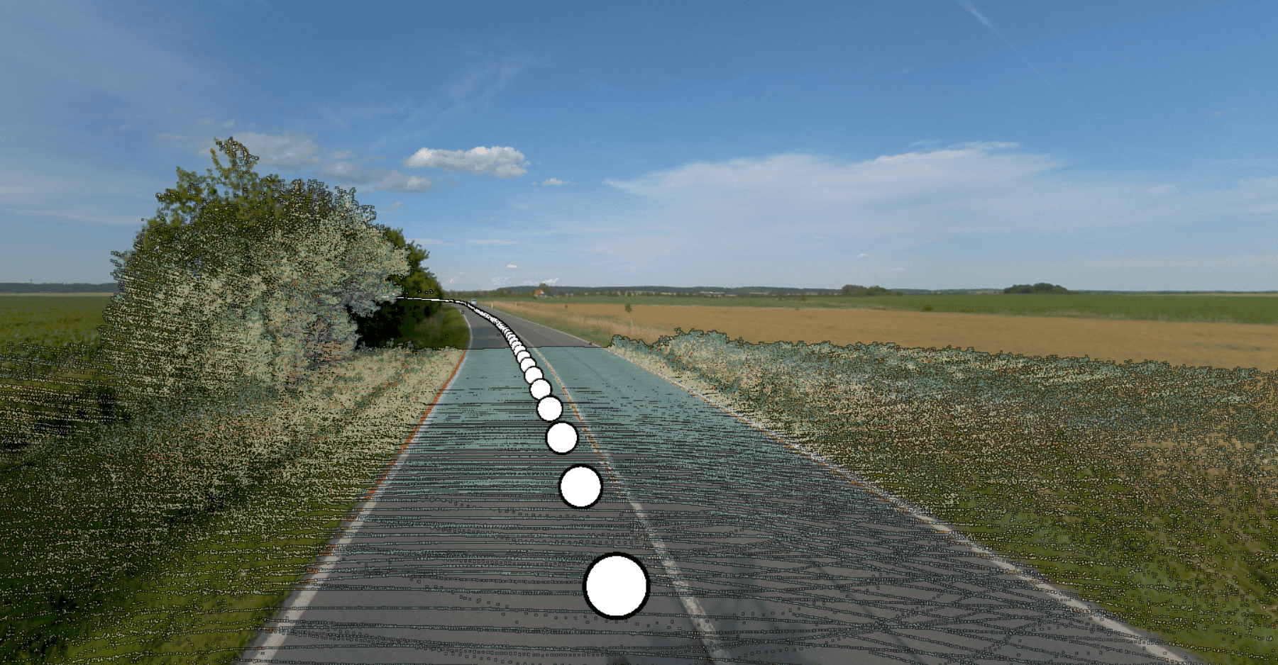
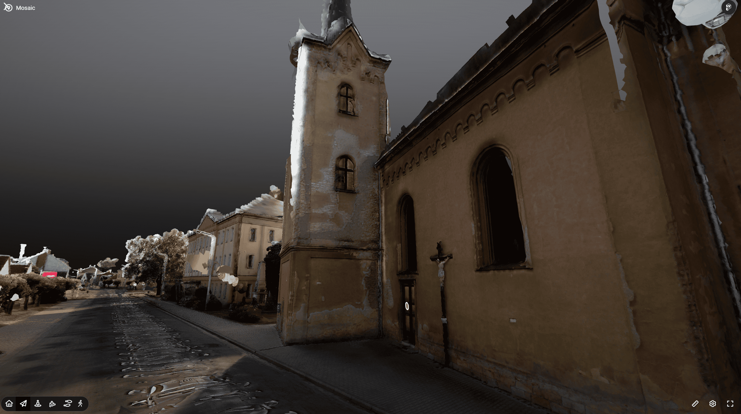
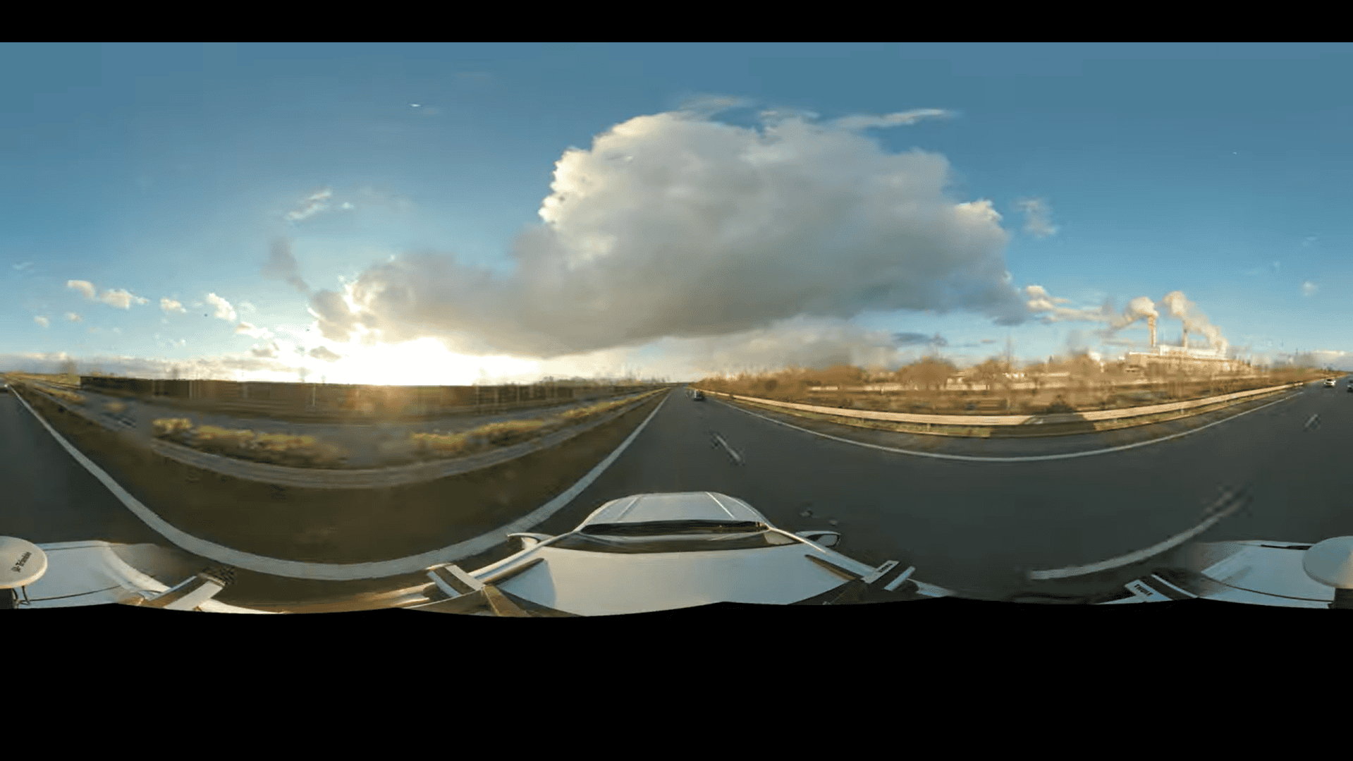
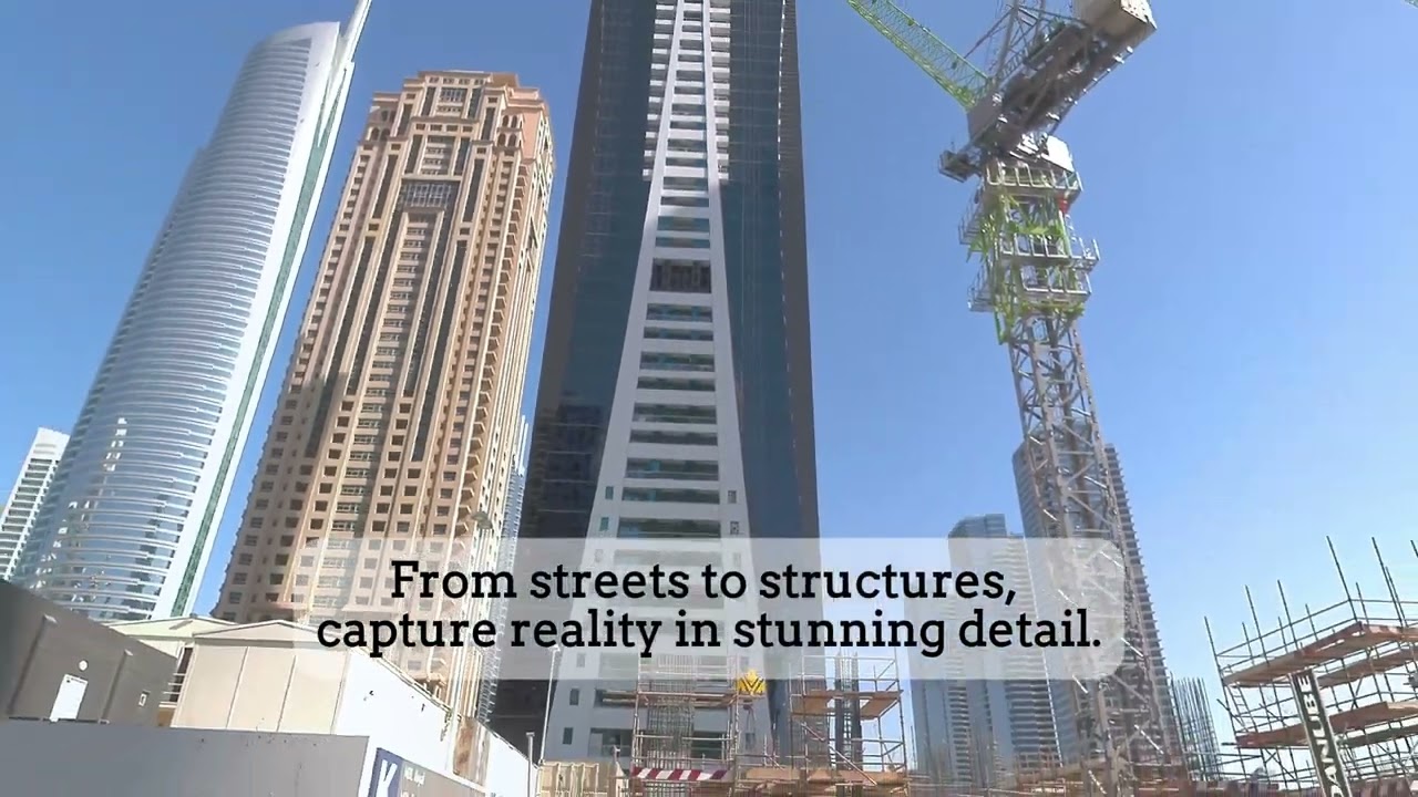
Inspect assets and infrastructure in sharp detail
Zoom in to analyze small and distant, but still important, information on street signs and building facades. Perform essential maintenance, planning, and visual documentation of all infrastructure along roadways with high-resolution panoramic imagery.
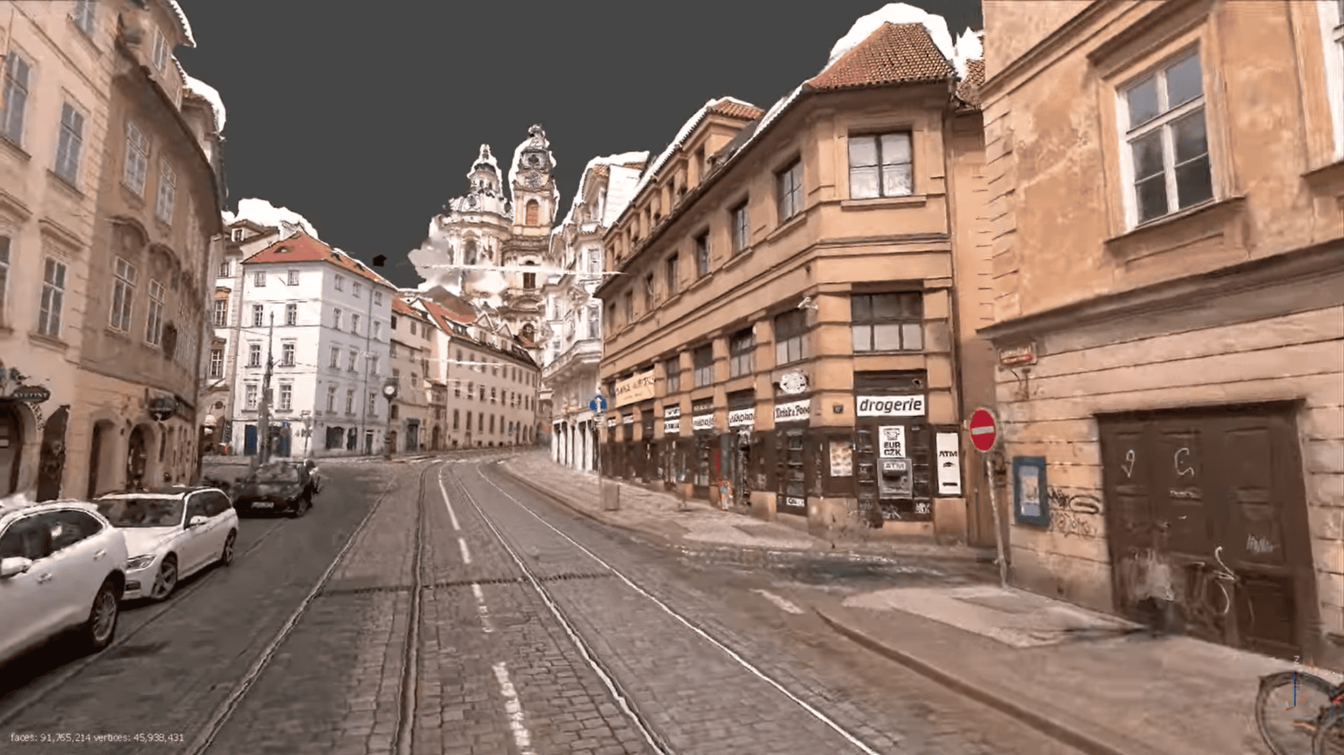
![Gaussian Splats (Prague, Sacre Couer) Built with Mosaic Xplor [Wearable 360 Camera with LiDAR]](https://img.youtube.com/vi/FsYJqmO5Sto/maxresdefault.jpg)

![Mosaic X - Exploring London's Hidden Gems [360 Mobile Mapping Camera]](https://www.mosaic51.com/wp-content/uploads/mosaic-x-mobile-mapping-camera-in-london.png)