Skip to content
Mosaic Logo
  • About
    admin-ajax-new
    • About Mosaic

    Company behind the #1 360º camera for mobile mapping 

    Dizajn bez názvu (19)
    • Partners

    Pioneering the future of data capture with trusted partners

    Mosaic-icon--Careers
    • Careers

    Work with us: Current open positions for our team

    admin-ajax_faq
    • FAQ

    You’ve got questions, we’ve got answers

  • Products
    Industry-leading Mobile Mapping Camera Systems
    Mosaic 51 mobile mapping camera
    • Mosaic 51

    Most durable, precise and practical 360º camera 

    Mosaic-camera--X
    • Mosaic X

    Where speed meets accuracy in 360º street view mapping

    Dizajn bez názvu (20)
    • Mosaic Xplor

    Backpack camera reshaping surveying and entertainment

    Mobile Laser Scanning Systems & Integrations
    Mosaic-Product--Meridian-2
    • Mosaic Meridian

    High-Quality 360° & LiDAR mapping, now within reach

    Meridian Lite
    • Mosaic Meridian Lite

    360° & LiDAR MLS system built for city-scale scanning and quick post-processing

    Mosaic-ill--integrations2@3x
    • Mosaic Integrations

    Integrate external sensors, including GNSS, LiDAR, and INS

  • Offerings
    VFX-services-
    • VFX Capture Services

    Achieve extraordinary visuals  and unlock creative freedom

    360-software-services-
    • Post-Processing Tools

    Streamline your workflow and secure your data

  • Case Studies
  • Insights
    Mosaic-Blog-icon
    • Blog

    Industry updates related to 360º cameras and mobile mapping

    Industry-solutions-icon
    • Industry Solutions

    Our solutions for industries, organizations and agencies

    new main header with mega menu 02
    • Gallery

    Through the lens of Mosaic’s 360° mobile mapping cameras

Day: July 2, 2026

Tuvalu: a Country at Sea Level
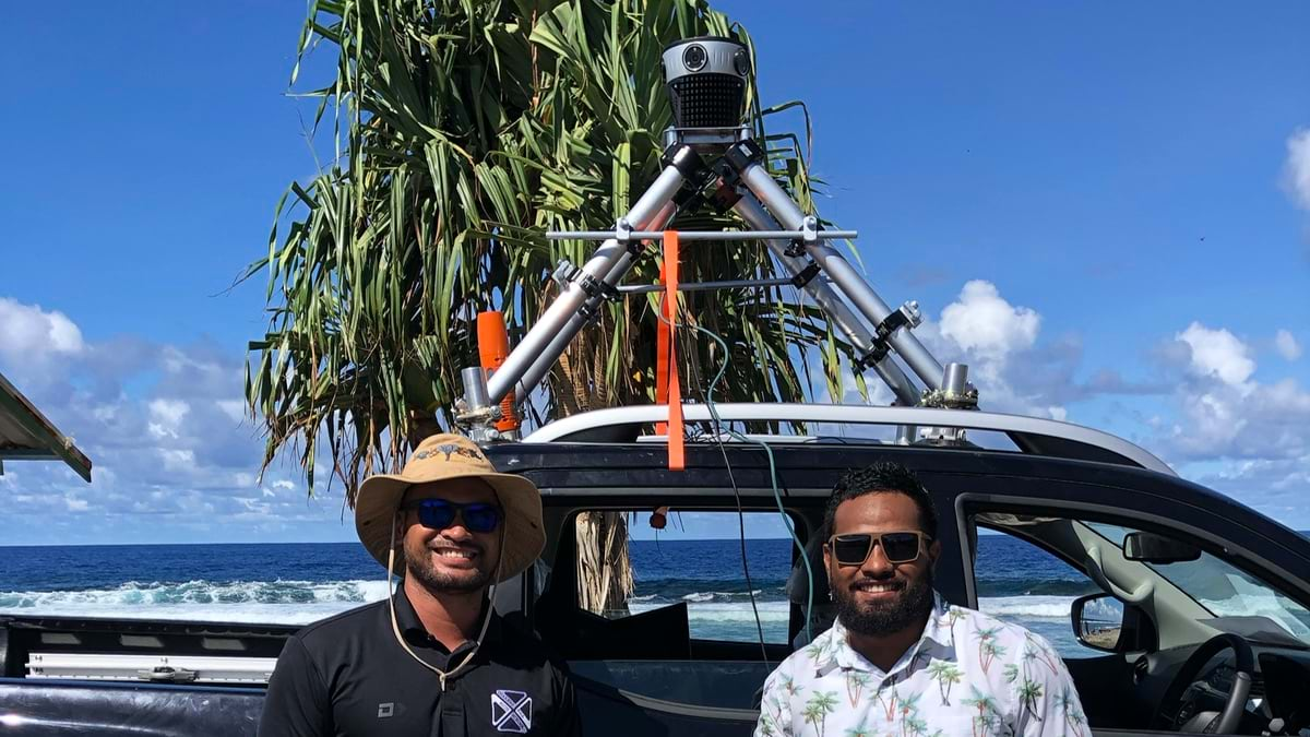
July 2, 2026 by Caroline

Tuvalu is the world’s first digital nation being built one pixel at a time with PLACE, ArcGIS, and Mosaic.


Categories Community Tags case-study

Recent Posts

  • How Timmons Group Is Refining American Pavement Management with the Mosaic 51
  • University of Hawaii Used Mosaic Imagery to Map Street Furniture Damage After the Lahaina Wildfire
  • Doubling Project Speed with the Mosaic X: Fotopo Case Study
  • From Collection to Permitting: The Complete Mobile Mapping Workflow for Telecoms
  • Tuvalu: a Country at Sea Level

Recent Comments

    Contact us

    Product or partnership inquiries?
    Interested in more info?

    Send a request and we’ll be happy to help.

    Contact Mosaic

    At Mosaic we are pushing the limits of HD mapping; our mission is to build a better view of the world. 

    Follow us

    Linkedin Youtube Twitter Facebook

    About Mosaic

    • The Company
    • Partners
    • Careers
    • Manifesto
    • Frequently Asked Questions

    Products

    • Products
    • Meridian MLS System
    • Mosaic Integrations
    • Meridian LITE MLS System
    • Mosaic 51
    • Mosaic X
    • Mosaic Xplor
    • Gallery

    Services

    • 360° Software Solutions
    • Mobile Mapping
    • VFX Capture Services

    Case studies

    • Case studies
    • Academic research

    Solutions by Industry

    • Smart Cities
    • Local Governments
    • Central Governments
    • Utility Companies
    • Telecom Sector
    • Transport and Logistics
    • Real Estate Companies
    • Financial and Insurance Companies
    • Engineering and Architecture
    • Public Safety
    • Media and Entertainment
    • Emergency Disaster Management
    • Road Asset Management
    • Railway Inspection
    • Infrastructure Surveying
    • Self-Driving Vehicles Training

    Subscribe

    Just like our cameras, our insights keep you up-to-date on Mosaic and the 360º world. Sign up to stay updated.

    CzechInvest Technological Incubation project logo
    • Support provided by the 'projekt Technologická inkubace' (Technological Incubation project) from CzechInvest. Learn more...

    © 2020-2026 Mosaic. All rights reserved. 
    Branding & Design: Brandician

    Search Mosaic

    Recent posts

    Timmons 3

    How Timmons Group Is Refining American Pavement Management with the Mosaic 51

    Lahaina

    University of Hawaii Used Mosaic Imagery to Map Street Furniture Damage After the Lahaina Wildfire

    fotopo cropped

    Doubling Project Speed with the Mosaic X: Fotopo Case Study

    New Compass 2

    From Collection to Permitting: The Complete Mobile Mapping Workflow for Telecoms

    Tuvalu: a Country at Sea Level

    the resolution gap with native sensors 01

    The Resolution Gap with Native Sensors 

    Ladybug5 vs Mosaic 51

    The Evolution of ARX Tecnologia’s Mobile Mapping Systems: From ARX630 to ARX672

    3dise 2026

    Why you can’t train a mind in a jar