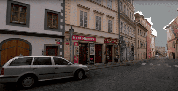
Quickly capture high-resolution images of infrastructure assets
Quick and cost-efficient method of collecting high-quality, photorealistic images of infrastructure, roadside assets, utility and telecommunication assets for inspection purposes.
Quick and cost-efficient method of collecting high-quality, photorealistic images of infrastructure, roadside assets, utility and telecommunication assets for inspection purposes.
Case study: Dymaxion integrates LiDAR with Mosaic 51 for electrical grid and road inspection
More industries are looking for ways to enhance their situational awareness for safer working environments and more.

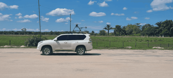
Minimize additional costs and human resources while scanning large-scale infrastructure for detailed 3D reconstructions.
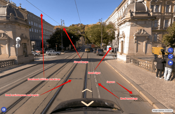
Discover how 1 data collection of street view imagery can be monetized across far-reaching industries and use cases.
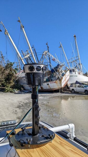
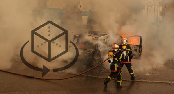
How Mosaic 51 customer created a solution for time-sensitive post disaster data collection and management


