Fly North: Integrating Street View Mapping with Drone Surveying
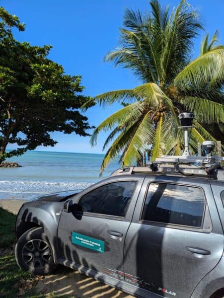
Discover how the Mosaic 51 improved Fly North’s ground capture capabilities to map 4,500 km of Colombia’s toughest environments.
Discover how the Mosaic 51 improved Fly North’s ground capture capabilities to map 4,500 km of Colombia’s toughest environments.
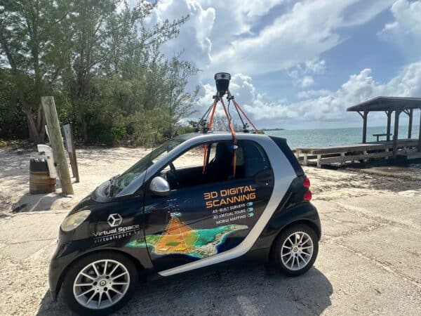
Virtual Space is meeting the unique mapping needs of the Cayman Islands with the Mosaic 51.
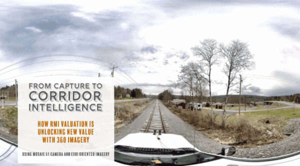
RMI Valuation is transforming the way railroad corridors are documented, valued, and managed using 360° imagery captured with Mosaic cameras.
During emergencies, every hour counts. Learn how McKenzie Intelligence Services uses Mosaic’s mobile mapping camera system to speed up the insurance claim

Mosaic had the opportunity to speak with UCLA researchers about the devastating 2025 L.A. wildfires.

Mosaic and ARX have teamed up to provide Brazil with the highest-resolution imaging available for urban infrastructure and cadastre projects.


