Everything you wanted to know about photogrammetry but were afraid to ask
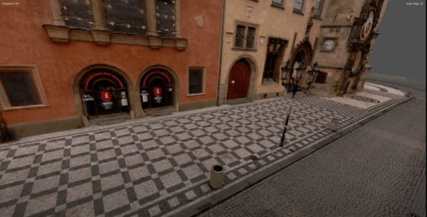
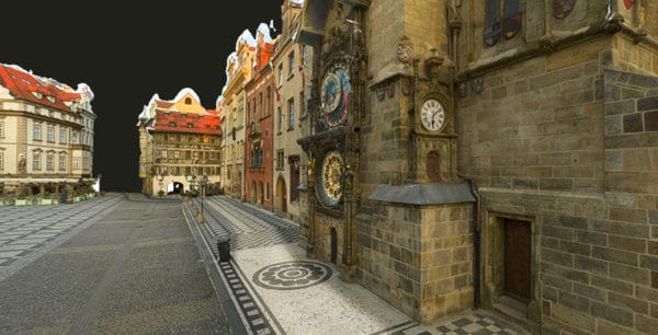
What it takes for the Mosaic team to create our impressive 3D models and reconstructions. All made with image data from our
What it takes for the Mosaic team to create our impressive 3D models and reconstructions. All made with image data from our
What are the implications and benefits of a 3d model? Learn how 3D city modeling is a boon to Smart City Planning.
Discover our list of the top 5 best 360 video stitching softwares currently available including on mobile app. Prices, compatibility and top
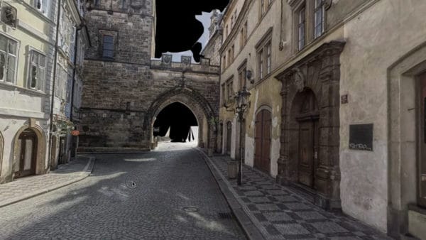
How is it possible to get large-scale 3D models of outdoor environments using photogrammetry and not LiDAR? Follow us!

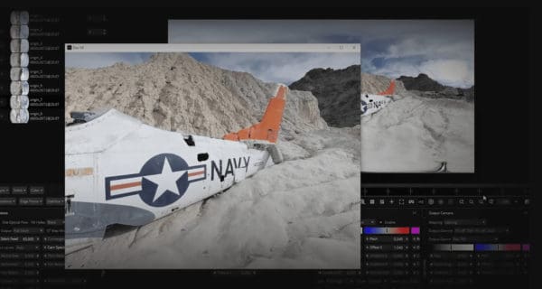
What’s the best technique for creating a point cloud? Let’s face off lidar vs photogrammetry and find out. What is a point
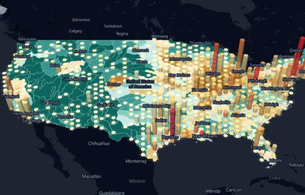
GIS software is incredible! And sometimes it’s even FREE! See some of the best free GIS software to visual mobile mapping data


