
Industry
Reality Capture in the Geospatial Industry: GIS, Mapping, and BIM
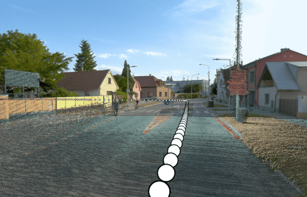
Reality capture technology is revolutionizing the geospatial industry by delivering unprecedented accuracy and efficiency. As professionals in GIS, mapping, and BIM increasingly rely on high-resolution digital models, the integration of cutting-edge tools like Mosaic’s mobile mapping cameras is driving innovation and improving workflows.
Featured
Industry Trends 2025 by Mosaic Team
Explore Mosaic’s vision for the future of mobile mapping and immersive environments in 2025. From advancing photogrammetry workflows to driving innovations in AI, AR/VR, and digital twins, discover how our technology is reshaping industries and enabling smarter, more efficient solutions.

Featured
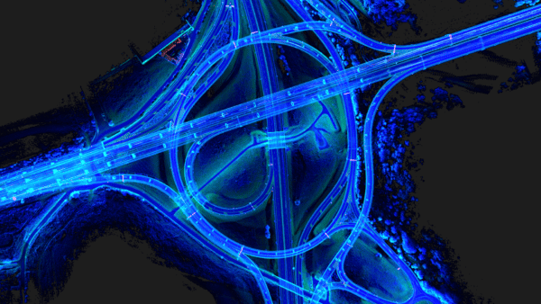
Case Study: VFX Production on ‘The Instigators’ with Mosaic 360 Imaging
How the VFX team saved time and reduced costs by capturing 6 miles of high-quality data at driving speeds—with no road closures, no permits, and just one operator.
Technology
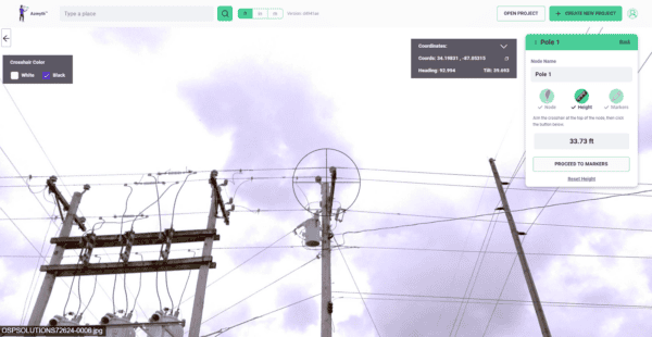
Transforming Utility Pole Inspections with Mosaic X Camera System
Learn how high-resolution 360° imagery, paired with Vulcan’s Azmyth platform, slashes costs by 70% and speeds up project timelines, setting new standards in the industry.

Featured
Mosaic Xplor Unlocks New Frontiers in Reality Capture and AI Training
Discover how 360° camera and LiDAR backpack technology overcomes the limits of traditional reality capture devices, providing high-resolution data even in the most challenging environments.
Featured
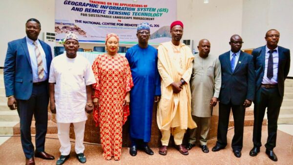
Mosaic Partners with Kogi State ACReSAL to Drive Agricultural and Environmental Surveys in Nigeria
Learn how Mosaic’s high-res 360° technology will support the upcoming Kogi State ACReSAL project, capturing critical data to advance sustainable agriculture and environmental resilience across Nigeria.


