
Technology
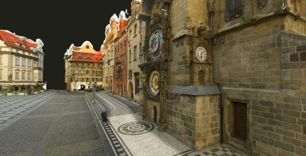
How to Build a 3D Model of a City
What are the implications and benefits of a 3d model? Learn how 3D city modeling is a boon to Smart City Planning.
Featured
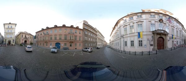
Mosaic X is ready for pre-order
The Mosaic X – a 360 degree mobile mapping camera – is ready for pre-order. Set to be the next big thing in mobile mapping.
Featured
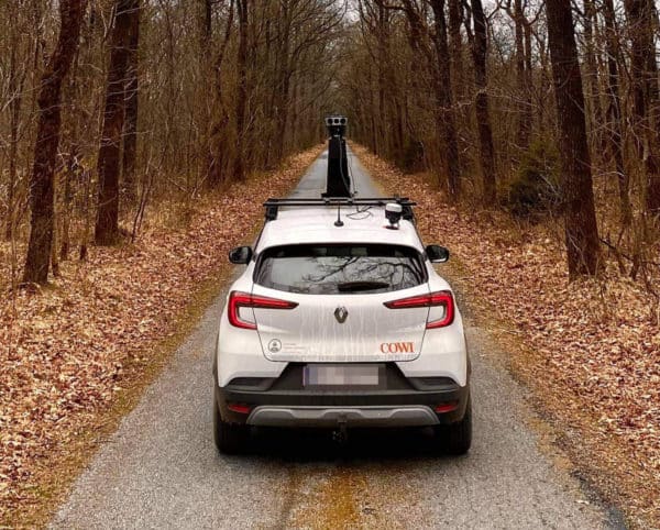
Mosaic and Emlid: Extreme Image Resolution Meets Centimeter-Level Positioning
Previously mapping and surveying companies had to choose between high image resolution and high positioning accuracy. Now, they can easily achieve both – Mosaic 51 is fully integrated with external GNSS for easy RTK
Technology
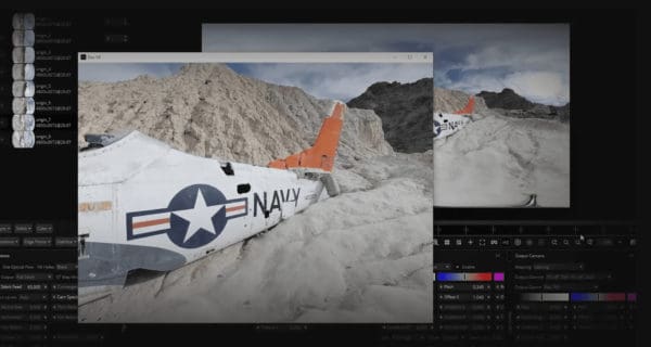
The Best 360 Video Stitching Software Mac & PC: 2025 Update
Discover our list of the top 5 best 360 video stitching softwares currently available including on mobile app. Prices, compatibility and top features.
Featured
Mistika VR offers FREE 90-day trial to Mosaic customers
Mosaic customers are now eligible for a free Mistika VR trial. Check out the details here.
Featured
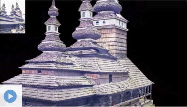
How 3D maps and 3D models can help cities during & after wars
3D maps and 3D models can help governments and emergency response teams better react in wartime crises, as well as recover in the aftermath. Find out how.


