
Featured
Mosaic Imagery Is Compatible With Over 20 Software Programs, Including Yours
Don’t interrupt your workflow or stress about learning new software! Mosaic’s non-vendor-locked data has 20+ compatible software programs.
Community
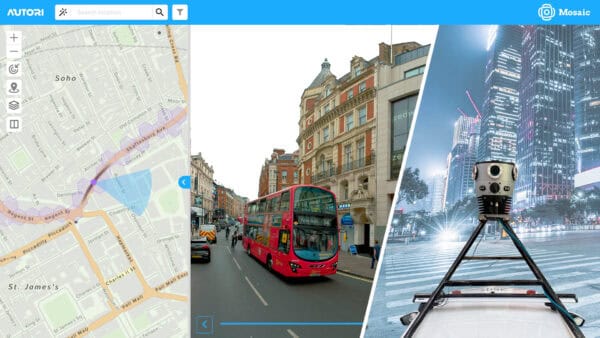
Autori and Mosaic Announce Strategic Partnership to Deliver Turnkey Visual Infrastructure Solutions
Now you can seamlessly integrate Mosaic’s high-resolution imagery with Autori’s Saas-based work and data management systems.
Featured
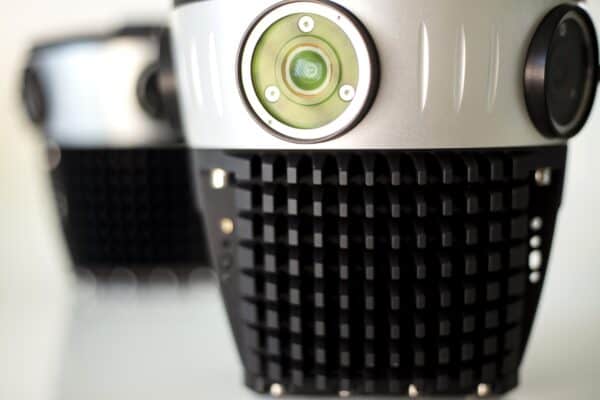
The Most Common Mobile Mapping Myths
Mobile mapping is shrouded in myths and rumors. Read along as our sales team addresses potential clients’ most frequent concerns.
Community
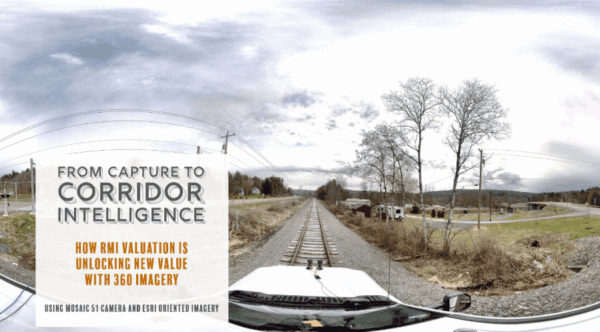
From Capture to Corridor Intelligence: How RMI Valuation Is Unlocking New Value with 360° Imagery
RMI Valuation is transforming the way railroad corridors are documented, valued, and managed using 360° imagery captured with Mosaic cameras.
Community
How ground-level imagery enhances disaster response and insurance claims processing
During emergencies, every hour counts. Learn how McKenzie Intelligence Services uses Mosaic’s mobile mapping camera system to speed up the insurance claim process and bring policyholders peace of mind. Financial

Featured
Wearable Technology with SLAM Takes You Where No Car Has Gone Before
Mosaic is pushing industry boundaries with the Mosaic Xplor, a 360º mobile mapping backpack made to explore, capture, and analyze hard-to-reach environments.


