
Technology
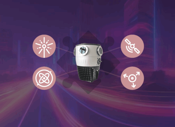
Built for Integration: 5 Reasons Mosaic Cameras Work Seamlessly with External Sensors
Build a seamless integration with Mosaic cameras and your preferred external sensors.
Technology
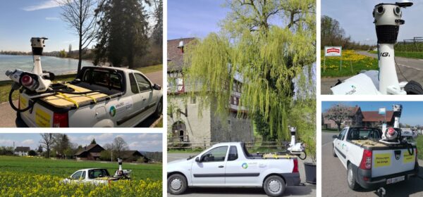
IGI Integrates the Mosaic X into the StreetMapper-V for Orbis360
IGI successfully integrated the Mosaic X camera onto the existing StreetMapper-V platform.
Featured
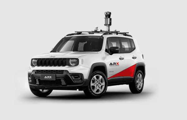
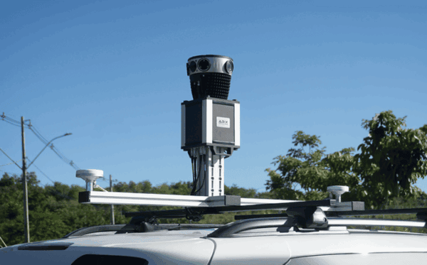
360° Mapping in Urban Infrastructure Management: Revolutionizing Asset Registration and Monitoring
Learn about the revolutionary uses of 360° mapping in this guest-authored article by our Brazilian partner, ARX.

Community
Fly North: Integrating Street View Mapping with Drone Surveying
Discover how the Mosaic 51 improved Fly North’s ground capture capabilities to map 4,500 km of Colombia’s toughest environments.
Featured
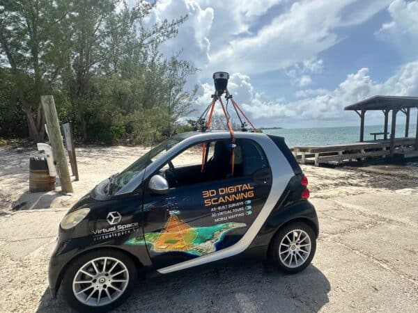
Virtual Space and Mosaic are Changing How We View the Cayman Islands
Virtual Space is meeting the unique mapping needs of the Cayman Islands with the Mosaic 51.
Featured
Accurate Measurements Without LiDAR: Demystifying 360° Photogrammetry with ARX Geo 360º
Learn how to perform measurements in 360° images with the aid of GNSS/IMU works, highlight the operational advantages of a laser-free approach, and compare their results.


