
Industry
Top Technologies for Tracking and Identifying Roadside Assets
A roadside asset is an asset that enhances the functionality of a road and/or the safety of the road user. How do maintain and monitor them?

Technology
NeRF vs Photogrammetry – 3D Models Created from 2D Imagery
We take our first stab at using NeRF vs photogrammetry. Check out our learning and results here.
Technology
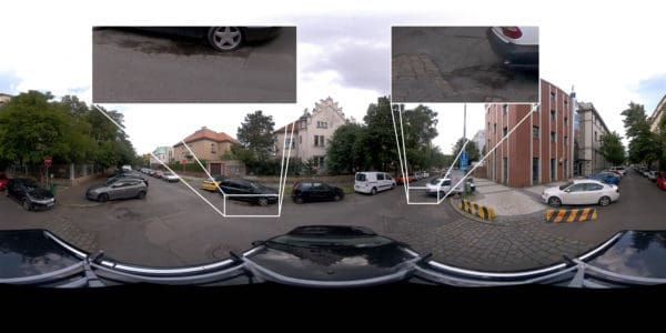
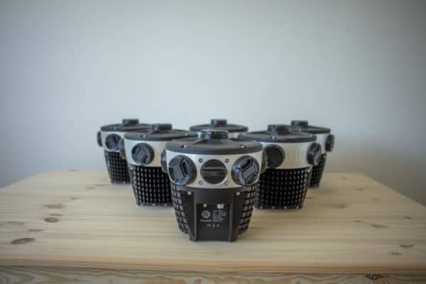
The technologies behind Mosaic cameras – the new industry standard
Check out the Mosaic camera technologies making our cameras the industry standard in mobile mapping, surveying and GIS.

Technology
Technology, Design and Invention – some thoughts on the matter
What it takes to capitalize on the available technology and address product design challenges of building hardware and cameras.
Industry
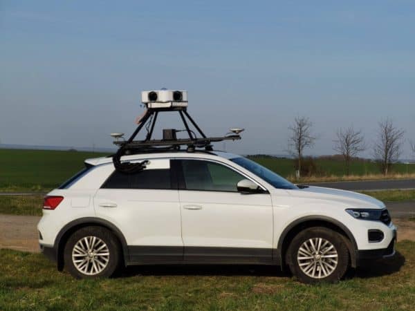
How to Choose a MMS – Mobile Mapping System
What does a MMS do? What data is collected with a mobile mapping system? What to consider when looking for a MMS?
Technology
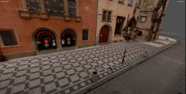
Everything you wanted to know about photogrammetry but were afraid to ask
What it takes for the Mosaic team to create our impressive 3D models and reconstructions. All made with image data from our line of mobile mapping cameras.


