

Featured
Smart Cities in the World – Big or Small – are Edging Forward
Which smart cities in the world are included in our list of the top 7?

Technology
What are Digital Twin Solutions for Supply Chain, Manufacturing and More
What digital twin solutions exist in supply chains, manufacturing, and medical sectors?

Community
Maps during COVID
Check out 10 incredible maps created during COVID which have kept communities large and small informed and safe in a time of uncertainly and danger.

Technology
The Best Camera for Agriculture and Crop Inspection
A 360° agriculture camera system for crop monitoring and inspection: identify insects, crop diseases and nutrient deficiencies.

Featured
What Biden’s American Jobs Plan Means for Mobile Mapping
The American Jobs Plan proposes spending $2 trillion on infrastructure and jobs. Here’s how a 360 mobile mapping camera would be a great tool in 10 cases.
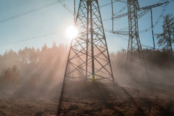
Technology
Advances in Utility Vegetation Management and Inspection
How utilities are using integrated vegetation management solutions to clear the way for better vegetation management


