
Featured
Best Mobile Mapping Cameras in 2024
Uncover the world of mobile mapping cameras and decide which will be the best mobile mapping camera in 2024.
Technology
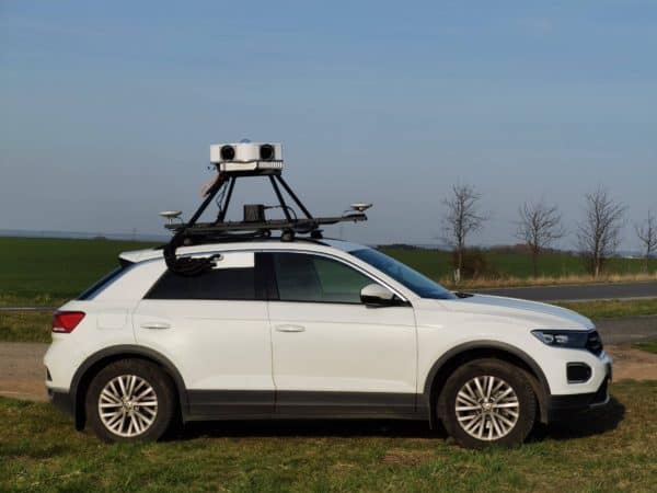
Unlocking Operational Efficiency with Mosaic Viking 360º Mobile Mapping Camera
Discover the transformative power of the Mosaic Viking 360º Mobile Mapping Camera. Learn how it enhances operational efficiency and cuts costs in geospatial projects, providing unmatched benefits for operators and clients alike.
Featured
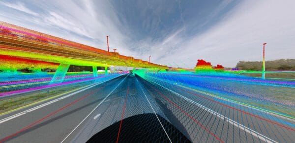
Case Study: How Kavel 10 Utilizes Mosaic X Imagery and RIEGL LiDAR to Colorize Point Clouds
Explore a compelling case study on the Mosaic X camera system. Learn how its robust design and intuitive features have revolutionized data collection, making it a top choice for professionals seeking reliability and efficiency.
Industry
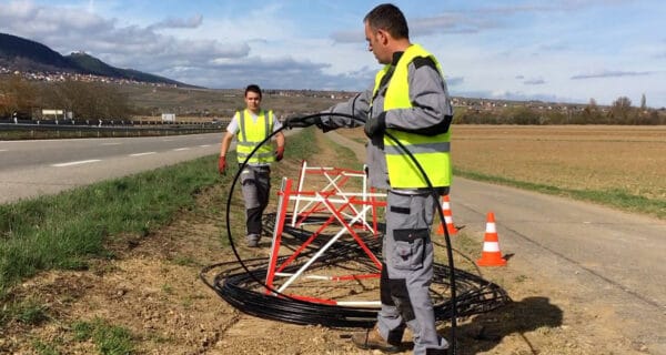
360° Mobile Mapping Cameras: Innovating Utility & Telecom FTTX Planning
Discover how Mosaic’s cutting-edge 12K-20K resolution cameras are transforming utility and telecom industries by enabling detailed street view imaging for FTTH/FTTX planning and infrastructure maintenance. Learn about the integration of AI, the challenges overcome, and the scalable solutions provided by Mosaic cameras.
Featured
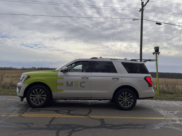
Case Study: Midwest Energy & Communications’ Innovative Approach to Utility Mapping with the Mosaic X Camera
Read how Midwest Energy & Communications harnessed their Mosaic X camera for superior data capture, resulting in streamlined operations, improved safety, and high-quality infrastructure mapping, driving forward their utility services.
Community
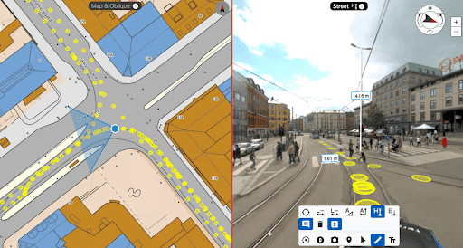
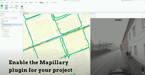
Integrating 360 Street View Imagery in ArcGIS: Enhancing Geospatial Visualizations with Mapillary
Unlock the full potential of ArcGIS with our guide on integrating Mapillary and Mosaic 360 cameras for dynamic street view imagery. Discover how to enrich your geospatial projects with up-to-date, panoramic visuals, and learn about the benefits of collecting your own data. Perfect for ArcGIS Pro and Web App Builder users seeking to leverage street-level imagery for insightful analysis and compelling map visualizations.


