
Featured
Mosaic and Emlid: Extreme Image Resolution Meets Centimeter-Level Positioning
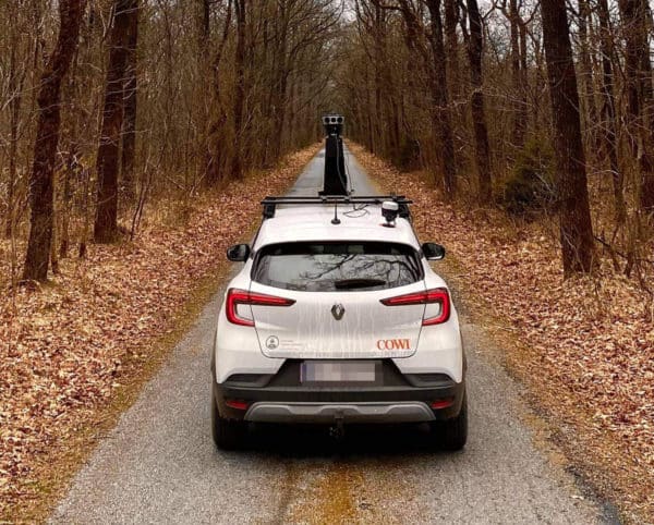
Previously mapping and surveying companies had to choose between high image resolution and high positioning accuracy. Now, they can easily achieve both – Mosaic 51 is fully integrated with external GNSS for easy RTK
Technology
The Best 360 Video Stitching Software Mac & PC: 2025 Update
Discover our list of the top 5 best 360 video stitching softwares currently available including on mobile app. Prices, compatibility and top features.

Featured
Mistika VR offers FREE 90-day trial to Mosaic customers
Mosaic customers are now eligible for a free Mistika VR trial. Check out the details here.
Featured
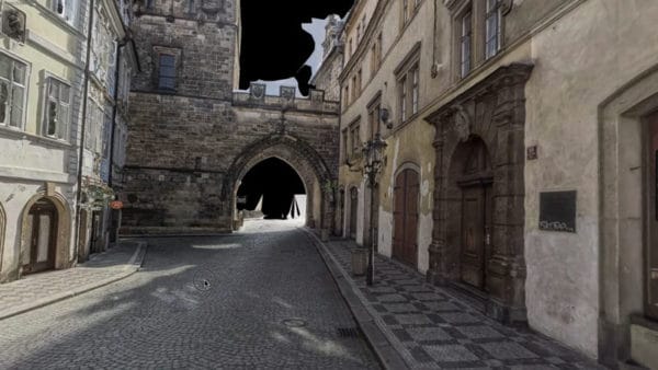
How 3D maps and 3D models can help cities during & after wars
3D maps and 3D models can help governments and emergency response teams better react in wartime crises, as well as recover in the aftermath. Find out how.
Technology
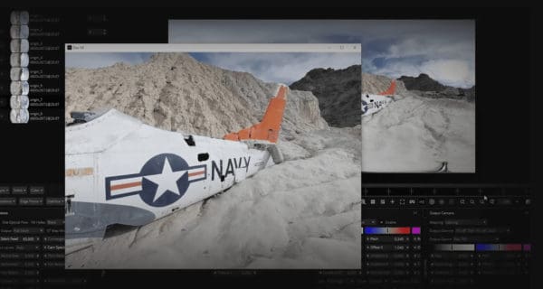
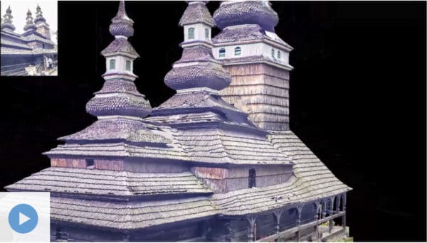
Large-scale Photogrammetry for 3D Model Creation – No LiDAR
How is it possible to get large-scale 3D models of outdoor environments using photogrammetry and not LiDAR? Follow us!
Community
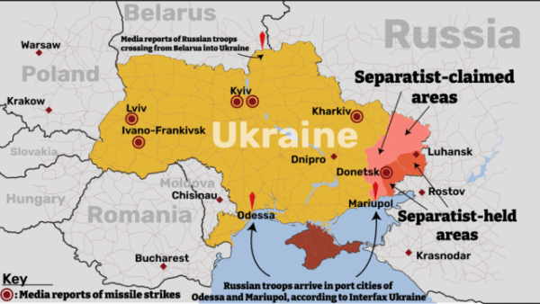
Importance of Geospatial Technology & Maps of Ukraine in War
Maps have always been one of the best ways to share data. Maps of Ukraine in war and other geospatial technology highlight this.


